


Page 1 of 4
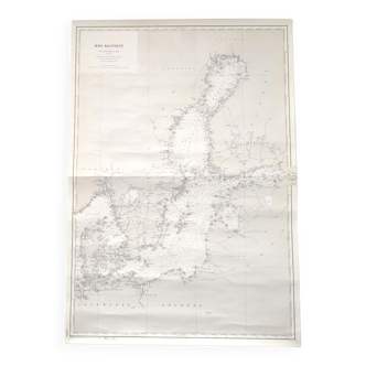
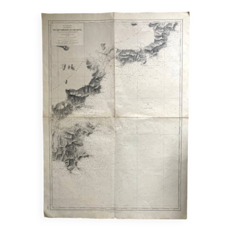
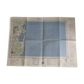
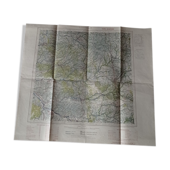
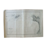
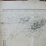
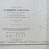
Nautical chart From Diélette to Omonville - Guernsey
€40 €80

Nautical chart From Diélette to Omonville - Guernsey
€40 €80
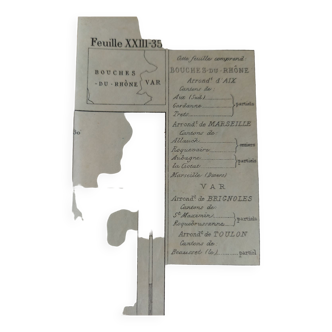
- Dimensions :
- H105 x W74 x D1
- Color :
- white
- Material :
- paper
- Style :
- vintage
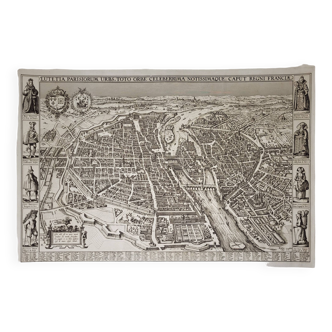
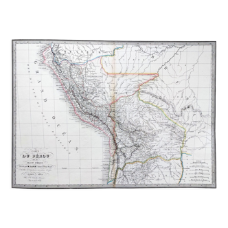
Nautical chart, chart raised in 1832 and 1833 by the hydrographers of the navy under the orders of mr. Beautemps beaupré, chief hydrographer engineer. This map is a reprint of edition n°6. Engraved the extract and the topography by e collin, son the letter by hacq. It measures 105 X 74.
🇫🇷
Raphael A.
Professional
This seller has been carefully selected for their reliability and unique items. Let yourself be tempted.
367 sales
4.76 ()