


Page 1 of 6
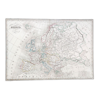
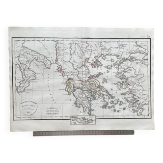
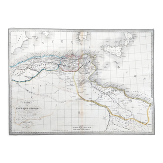
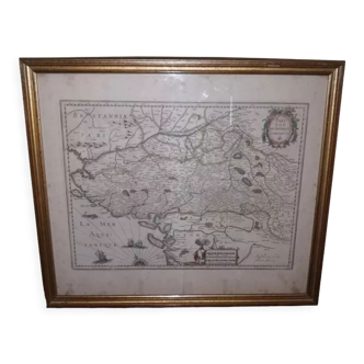
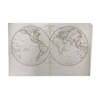
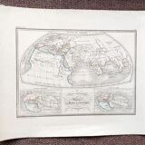
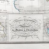
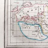
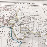
Ancient map of the geographical systems of Strabo's Ptolemy and Eratosthenes - 1836
€50 €80
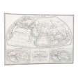
Ancient map of the geographical systems of Strabo's Ptolemy and Eratosthenes - 1836
€50 €80
- Dimensions :
- H32 x W40
- Color :
- white
- Material :
- paper
- Style :
- classic
Old map 1836. Hand-colored engraving. Map of the geographical systems of ptolemy, strabo and eratosthenes, from the "complete atlas of the precise of universal geography" of m. Malte-brun in 1836. Engraved by thierry rue des mathurins saint jacques n°1. Paper dimensions: 40x32 cm. Dimensions engraving: 30x22 cm. Good general condition for age. Some small tears on the perimeter - some stains - normal tarnishing of the paper. Look at the photos to realize the defects.