


Historical school geographic map of France and Europe
- H112 x W98 x D1
- plastic
- blue
5 ()
Enter the delivery postal code to see the available options
- You will be able to select your delivery option during payment
Description
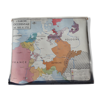
Vintage geographic school map. On one side it has the historical map of france we see the royal domain of hugues capet, the enlargement of louis vii, philippe le bel on the other side historical map of europe. You can see the boundaries of the egyptian empire, the roman empire, the empire of charlemagne and the barbarian empire. It is from pedago editions and stands out a little in the corners. There is a wooden bar on one side which measures 135cm height: 112cm width: 98cm.
Ref. : 3JQ45PYV
- Dimensions :
- H112 x W98 x D1
- Color :
- blue
- Material :
- plastic
- Style :
- vintage
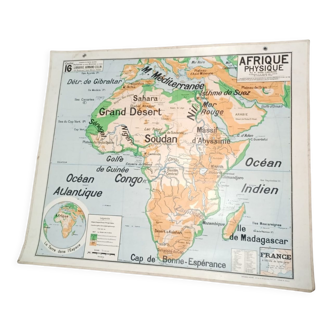
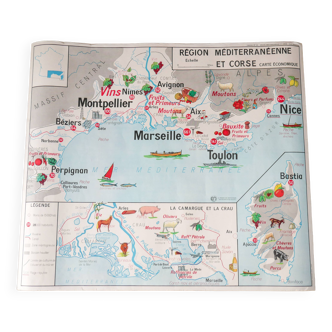
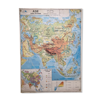
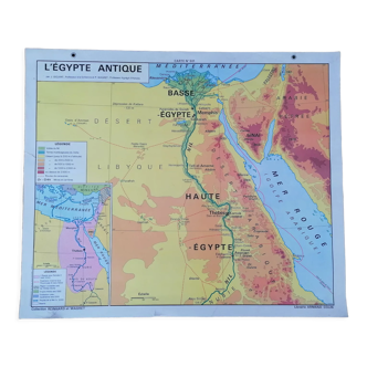
Our suggestion of similar items
Discover more similar items
Return your item within 14 days
Cherry-picked items
Carrefully selected sellers
100% secured payment