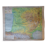
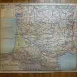
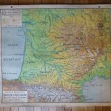
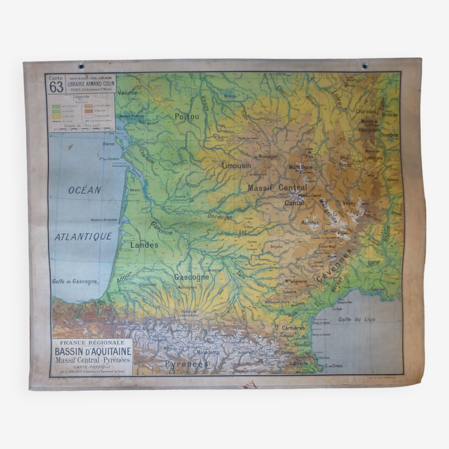
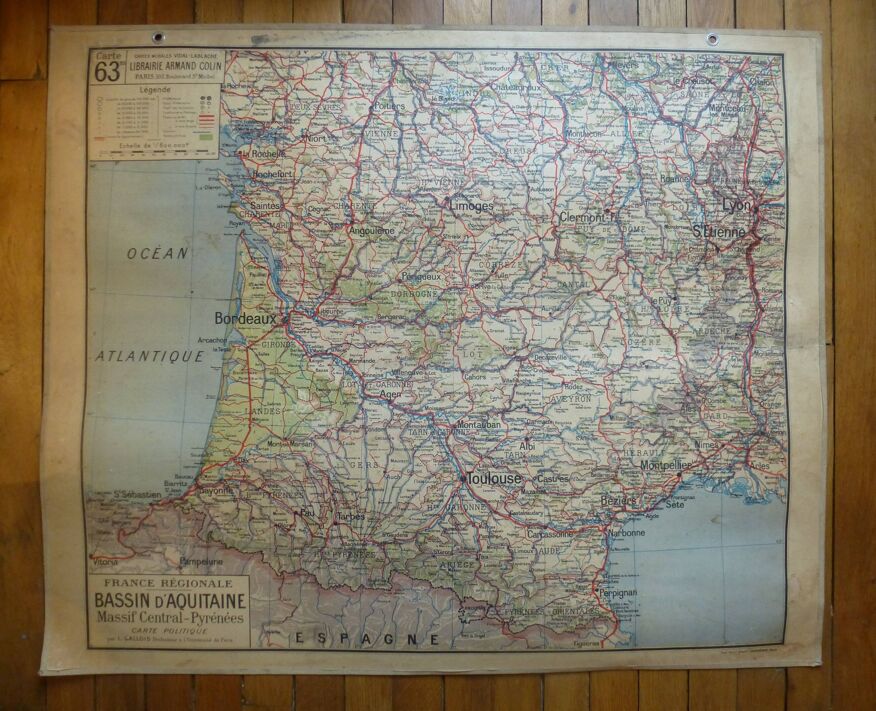
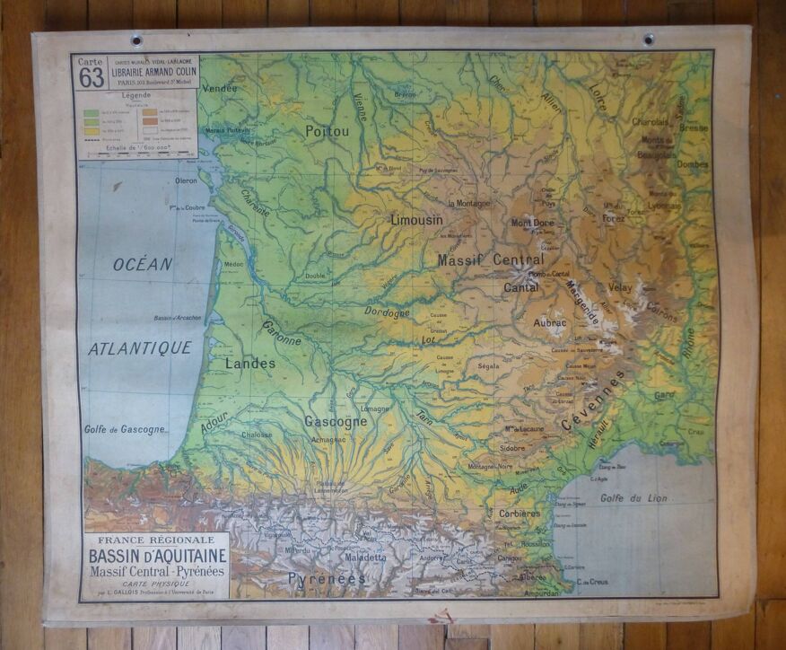
Old school map "Aquitaine Basin, Massif Central-Pyrénées" No. 63, ed. Vidal-Lablache 1930
- H100 x W120
- paper
- multicolour
4.71 ()
Description
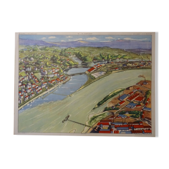
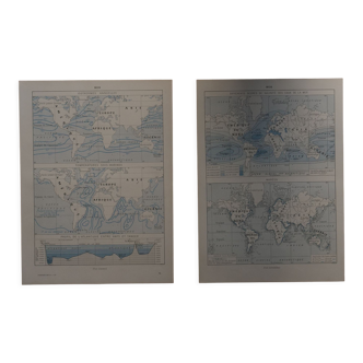
Old school wall map "regional france / aquitaine basin, massif central-pyrénées" no. 63, physical map on the front and political map on the back, original vidal-lablache edition from the 1930s, by l gallois, in cardboard paper very thick and heavy, measuring 120 X 100 cm. The card is offered here with its original attributes: double pair of metal rings to hang it and ecru fabric edging on the 4 edges. Its condition is good: no defects, with pitting and a few spots of humidity (visible in the photos) giving it all its character. Old model that has become rare. Sending possible, rolled in a "loose" manner (so in a large package) so as not to "break" the cardboard.
Ref. : 3UK5Y1V6
- Dimensions :
- H100 x W120
- Color :
- multicolour
- Material :
- paper
- Style :
- vintage
Our suggestion of similar items
Discover more similar items


Return your item within 14 days
Cherry-picked items
Carrefully selected sellers
100% secured payment