


Old school map Republic of Ivory Coast
- H125 x W93
- plastic
- multicolour
4.74 ()
Description
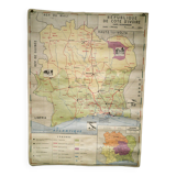
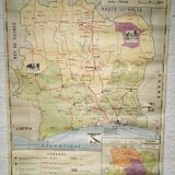
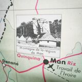
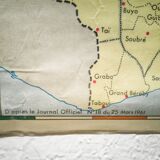
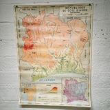
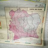
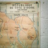
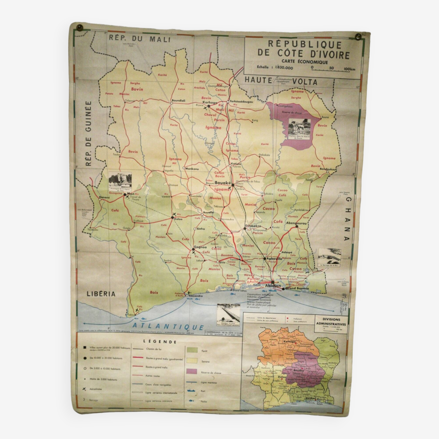
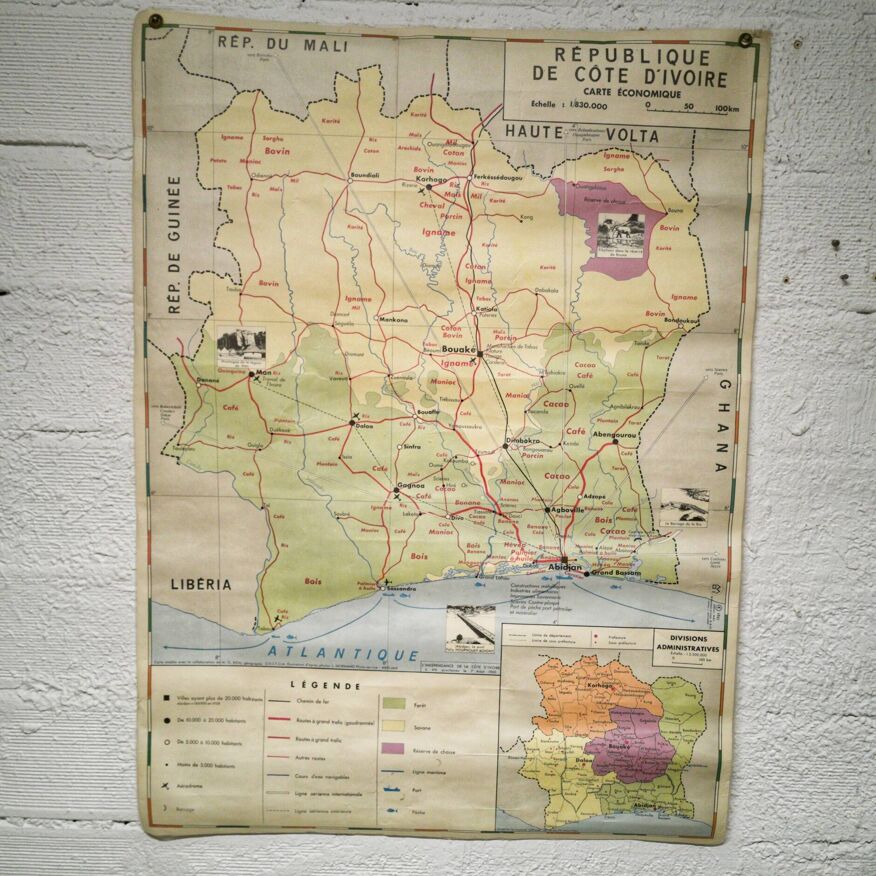
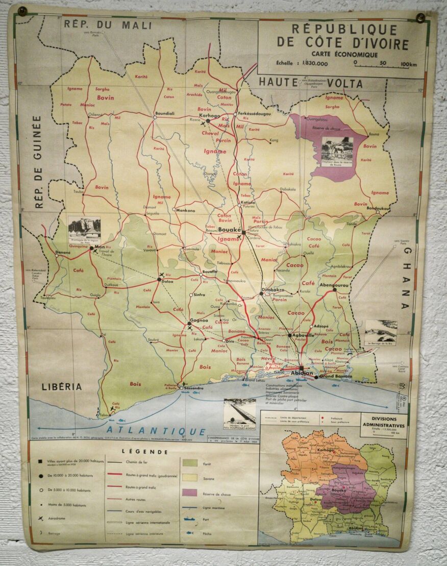
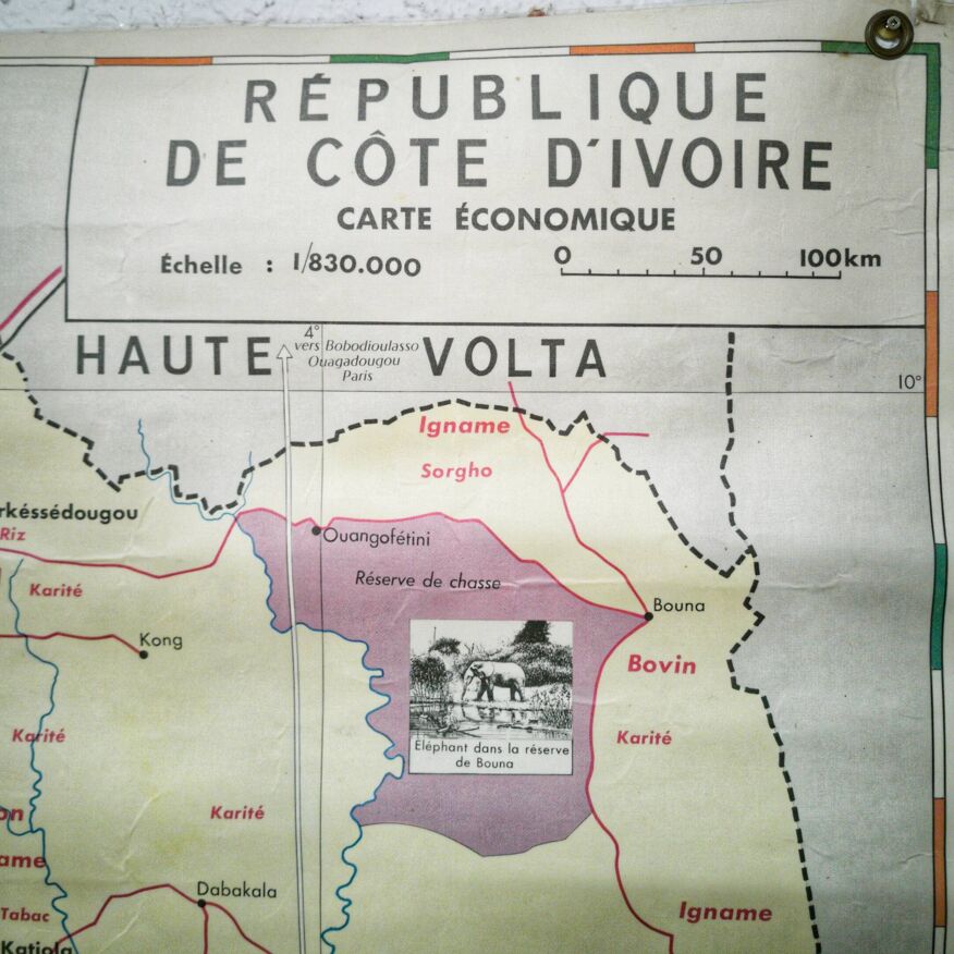
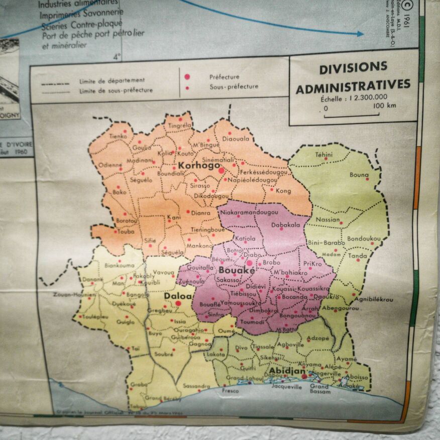
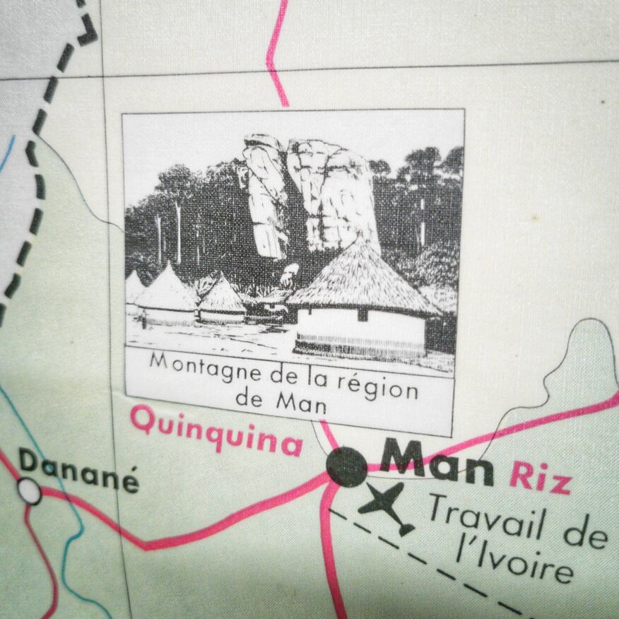
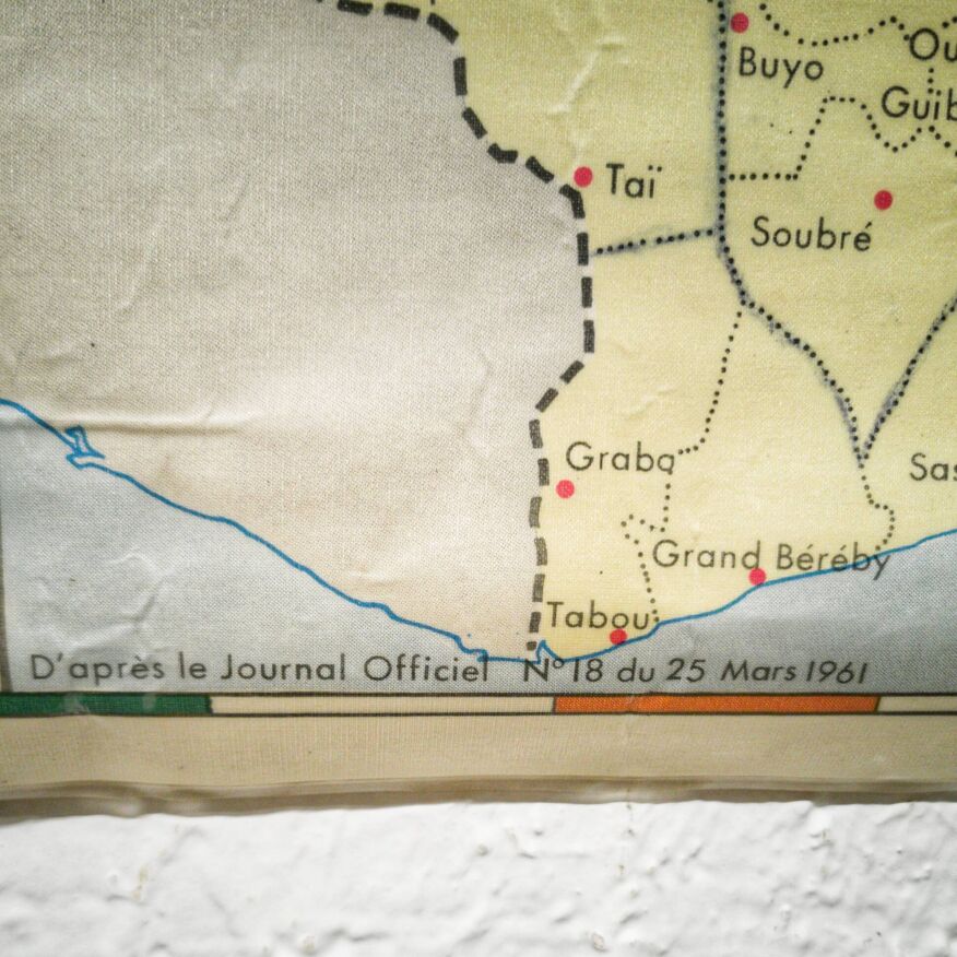
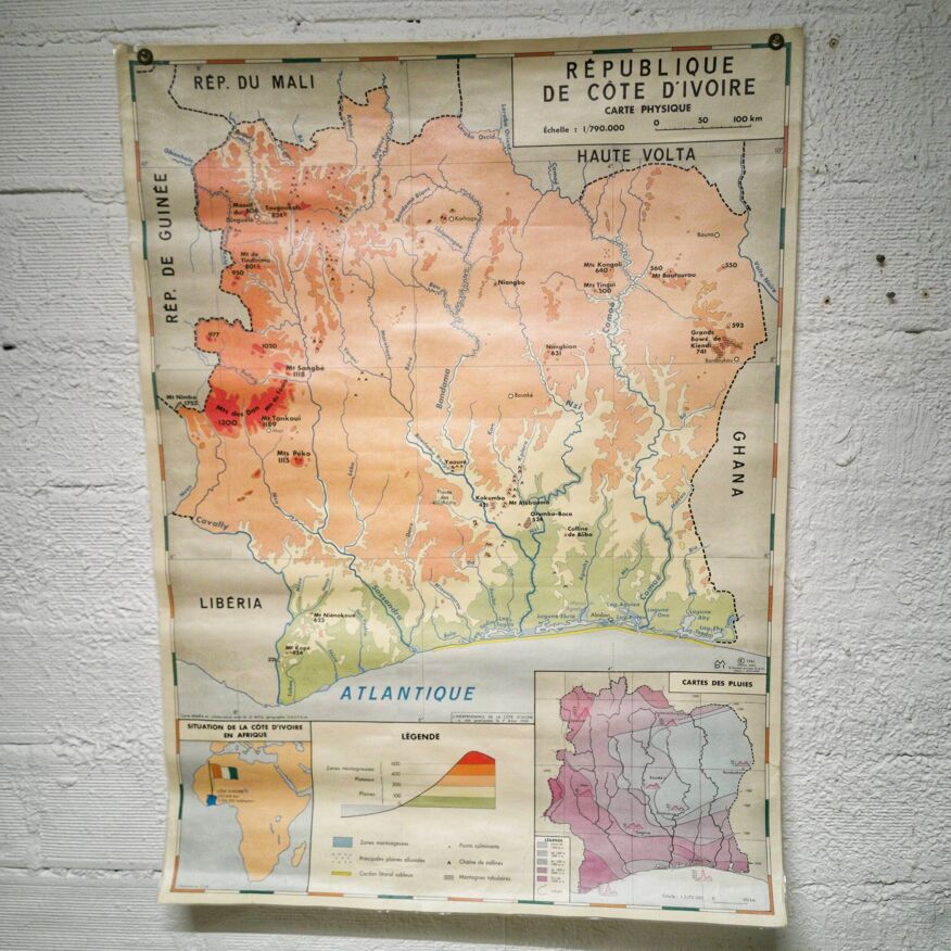
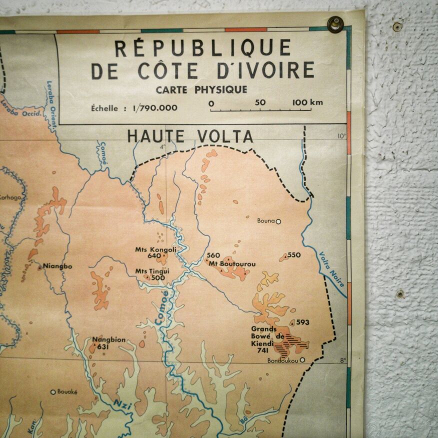
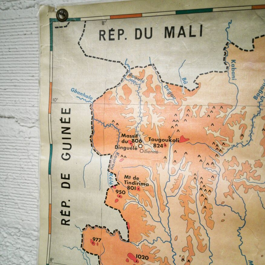
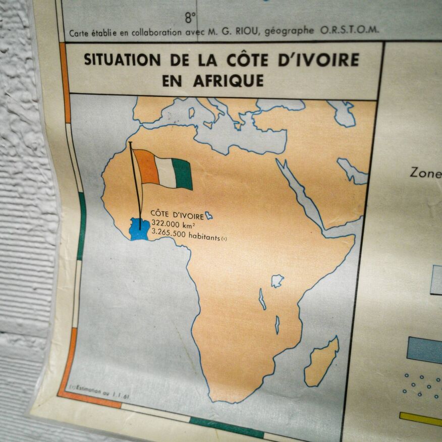
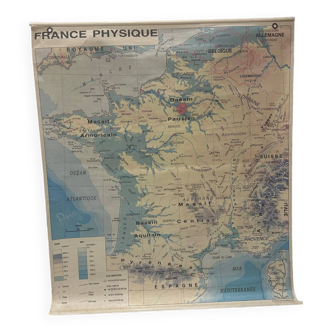
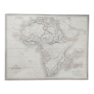
Old school map republic of ivory coast reference: 1750 in stock: 1 item €39.00 quantity shopping_cart add to cart description school map - republic of ivory coast old school map dating from the official journal of march 25 1961 representing the republic of ivory coast. On the front: economic map with an insert of administrative divisions on the back: physical map with a rain map insert and an insert on the situation of côte d'ivoire in africa the map is laminated with 2 metal eyelets for hanging it. Technical sheet composition paper color multicolor dimensions 93 X 125cm style vintage.
Ref. : 3YT5XV8B
- Dimensions :
- H125 x W93
- Color :
- multicolour
- Material :
- plastic
- Style :
- vintage
4.74 ()

Return your item within 14 days
Cherry-picked items
Carrefully selected sellers
100% secured payment