


Old Champagne region map illustrated Jacques Liozu 1951
- H53 x W37
- paper
- multicolour
4.97 ()
Description
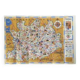
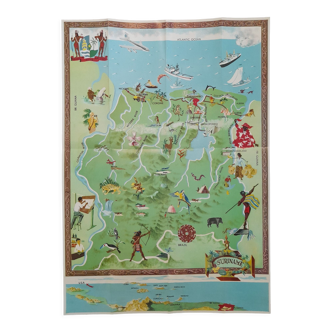
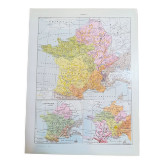
Old map of the champagne region in the north-east of france, illustrated by jacques liozu for odé paris publishing house, printed in france in 1951. Pretty illustrations representing historical figures, gastronomic specialties, know-how, craftsmanship and heritage french, historical monuments. Dimensions: large format on thick paper 53 by 37 cm. Poster to frame. Vintage decoration for guest house, country house, holiday home, restaurant, hotel: geography wine wine reims chalons mézières troyes langres chaumont sens langres aube marne.
Ref. : 444ZT9K7
- Dimensions :
- H53 x W37
- Color :
- multicolour
- Material :
- paper
- Style :
- vintage
4.97 ()
Our suggestion of similar items
Discover more similar items


Return your item within 14 days
Cherry-picked items
Carrefully selected sellers
100% secured payment