
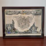
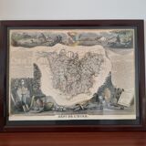

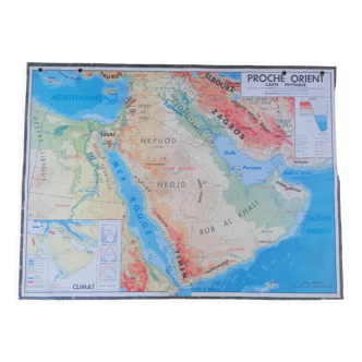
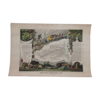
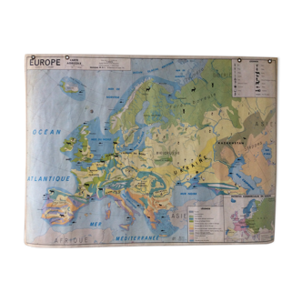
Real old map 1854
- H37 x W48 x D2
- paper
- beige
5 ()
Description
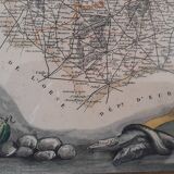
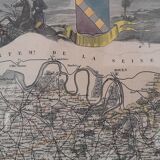
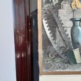
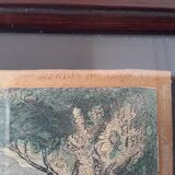
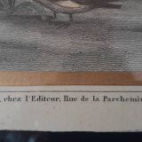
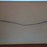
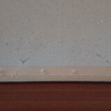
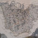
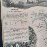
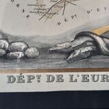
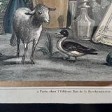
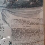
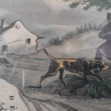
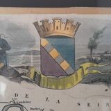
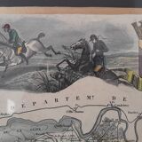
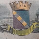
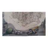
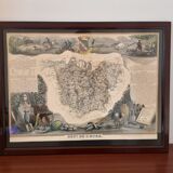
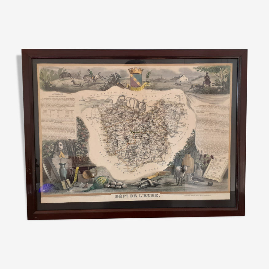
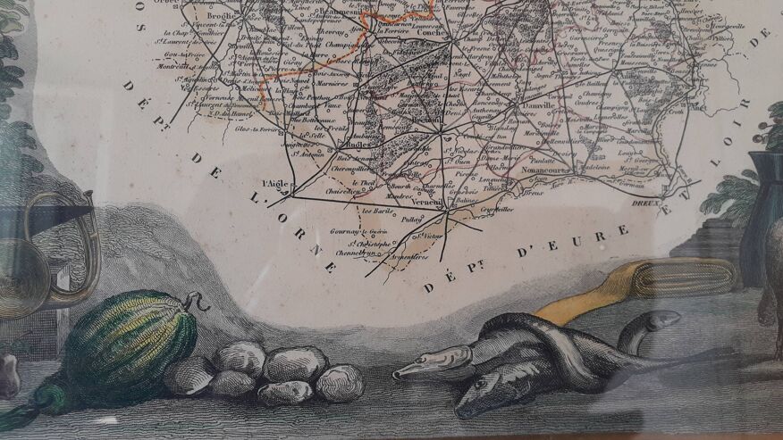
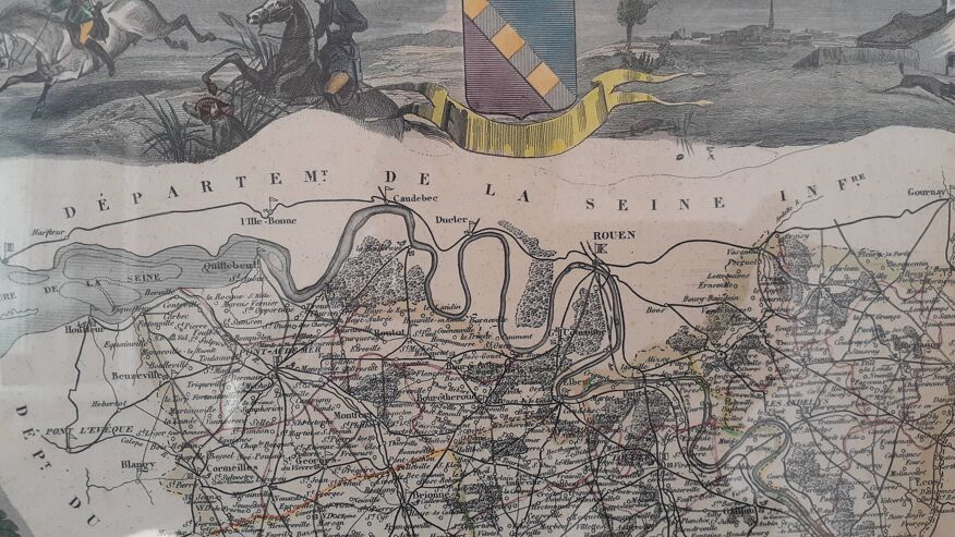
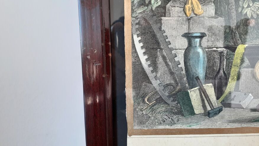
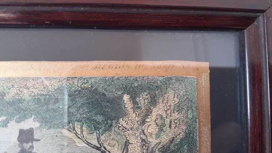
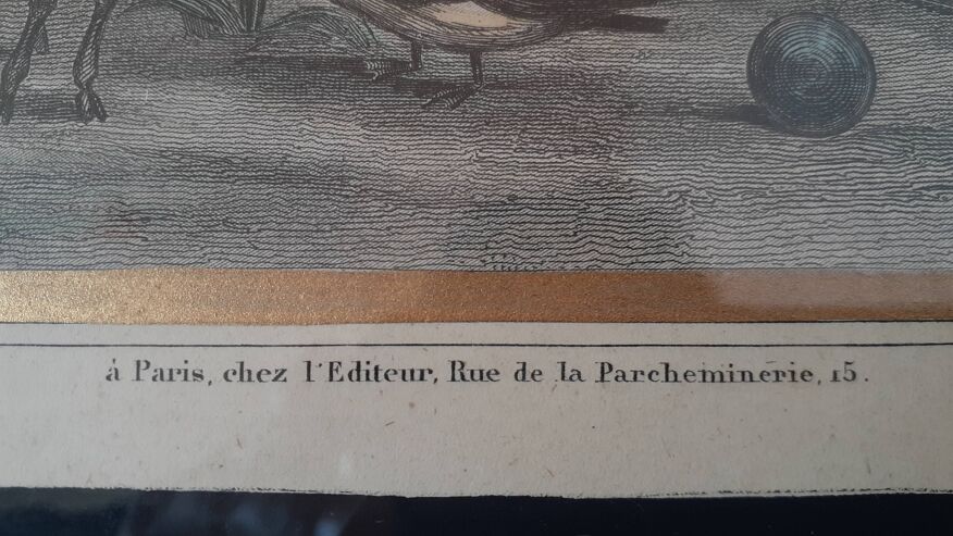
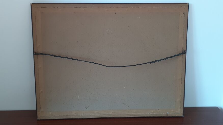
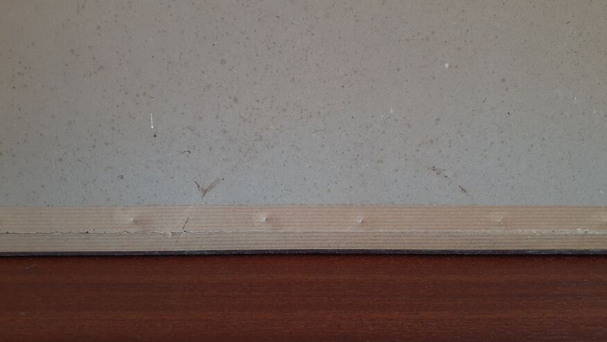
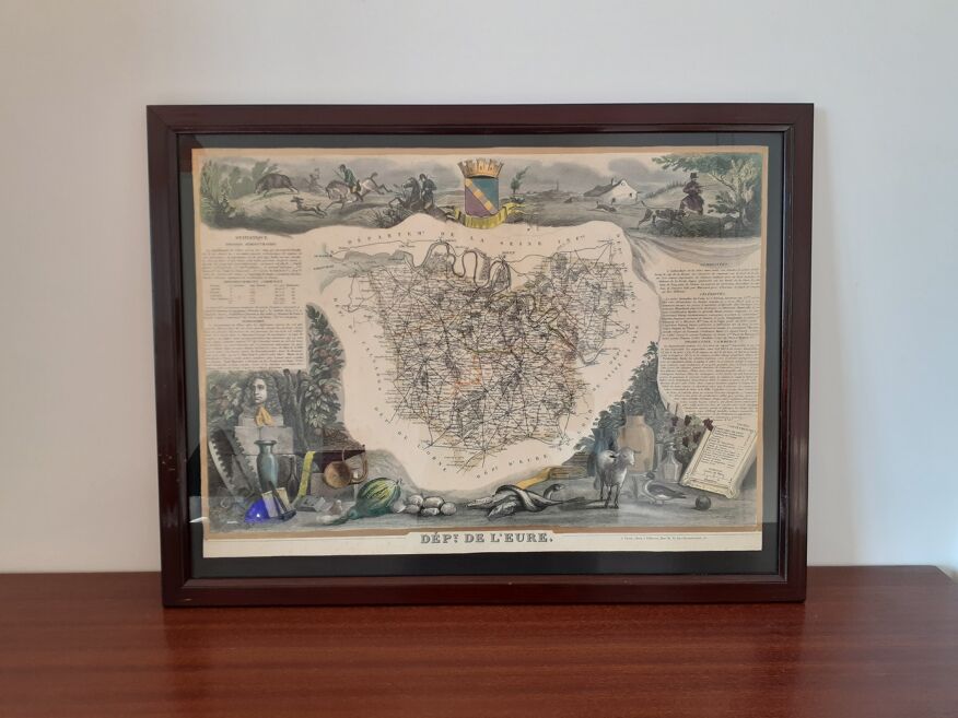
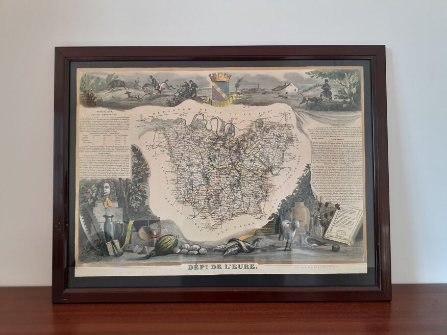
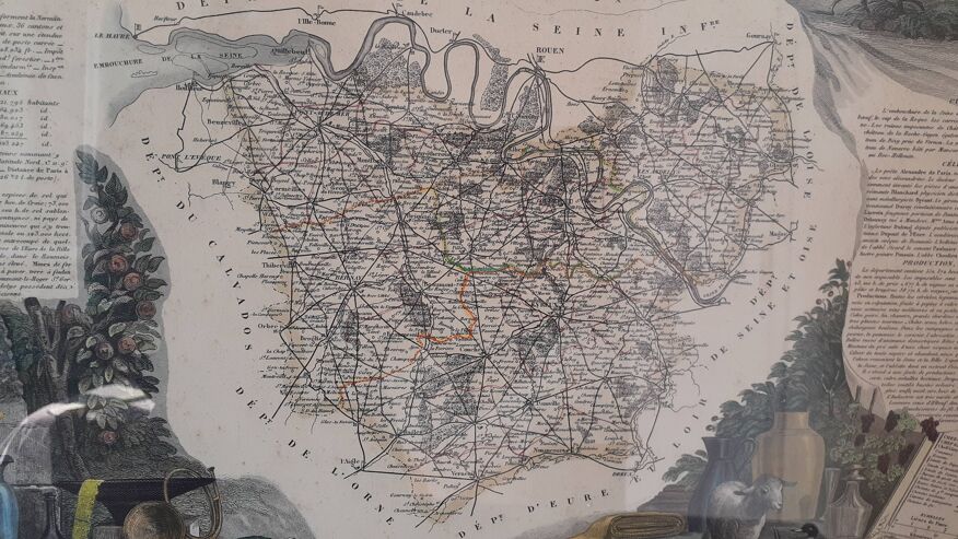
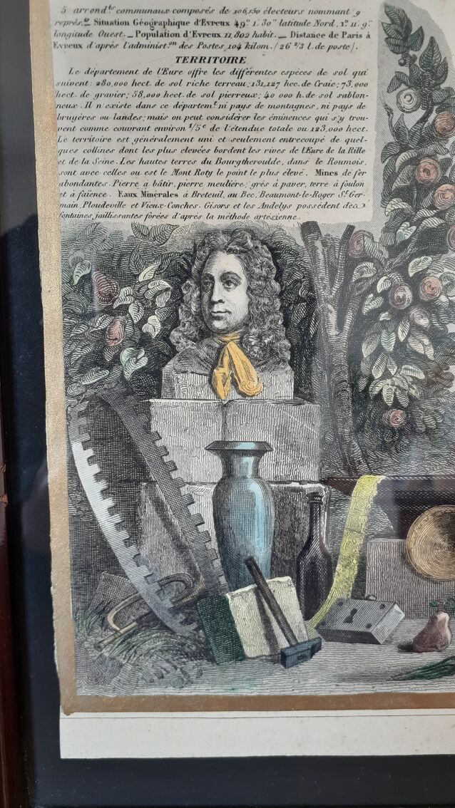
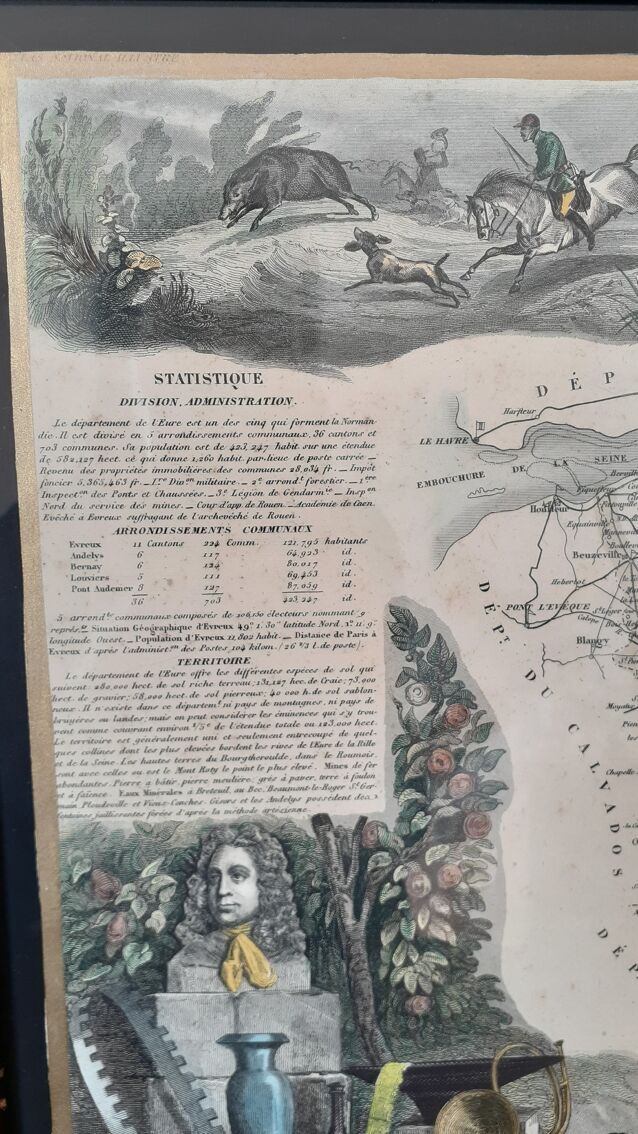
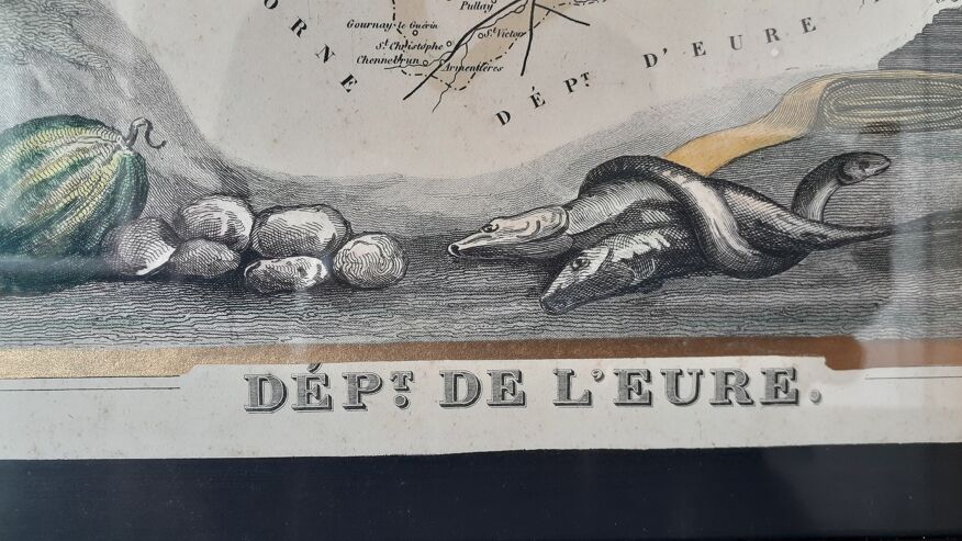
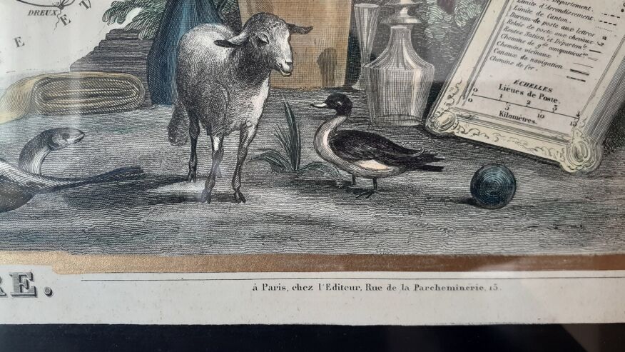
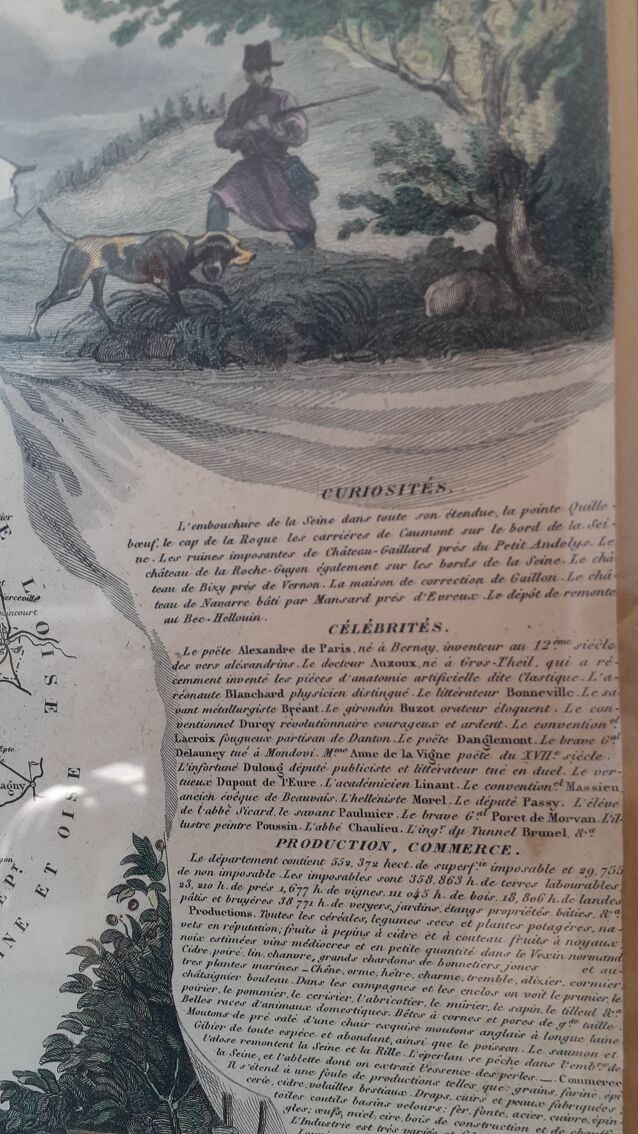
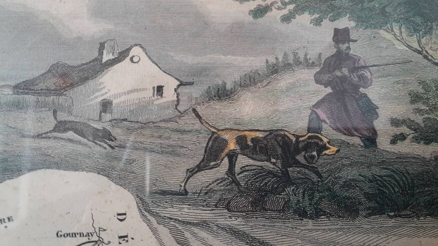
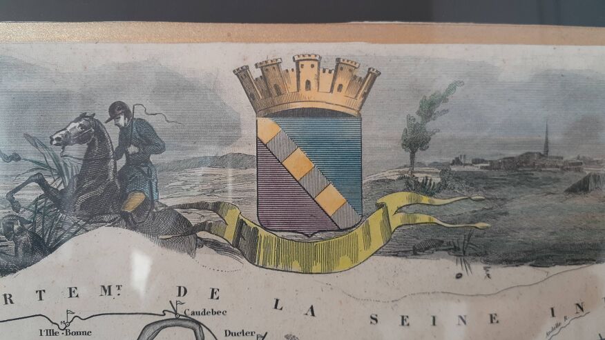
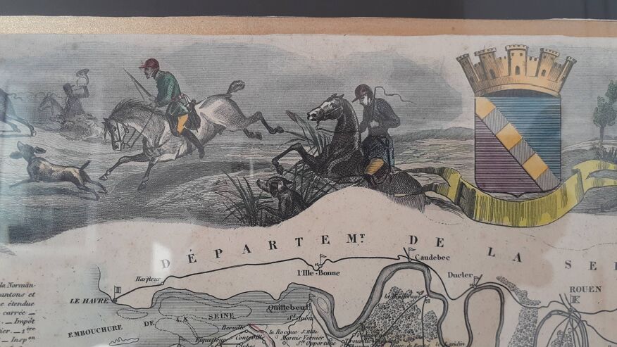
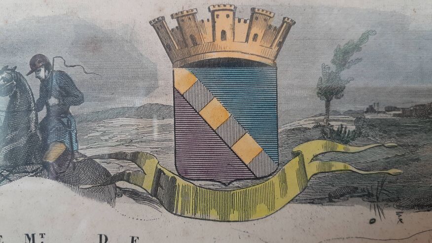
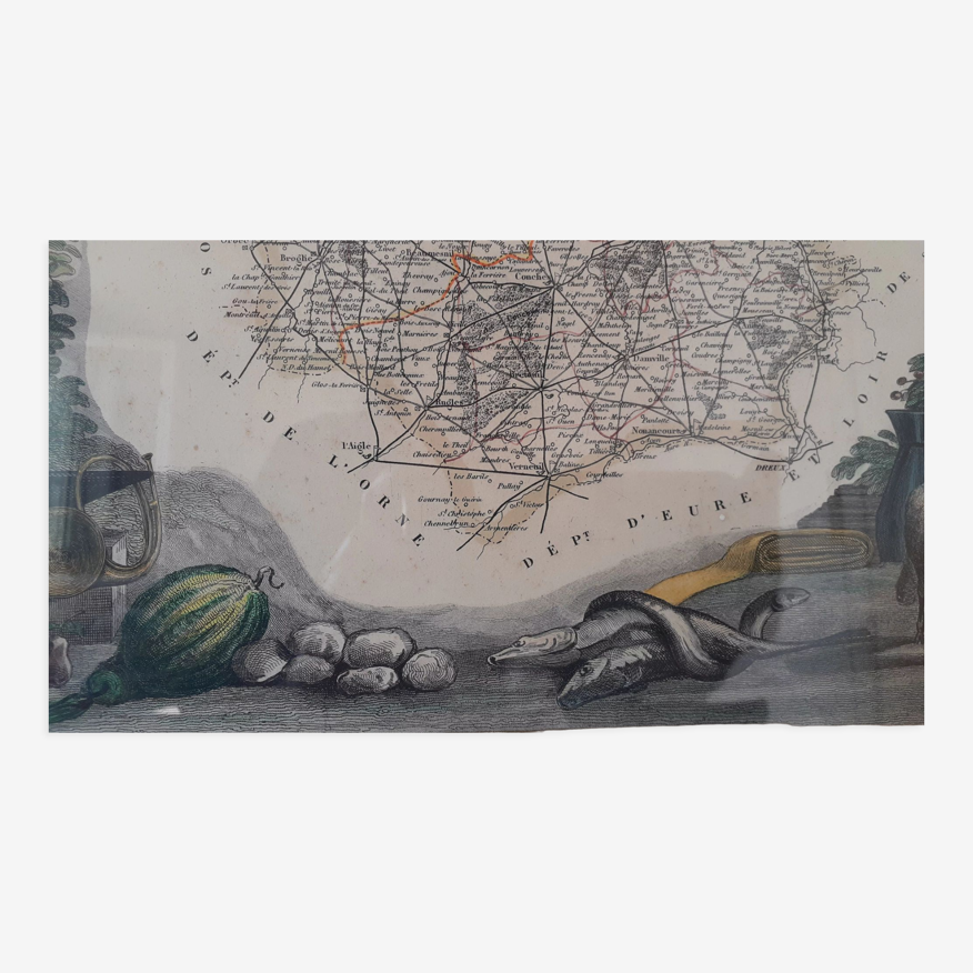
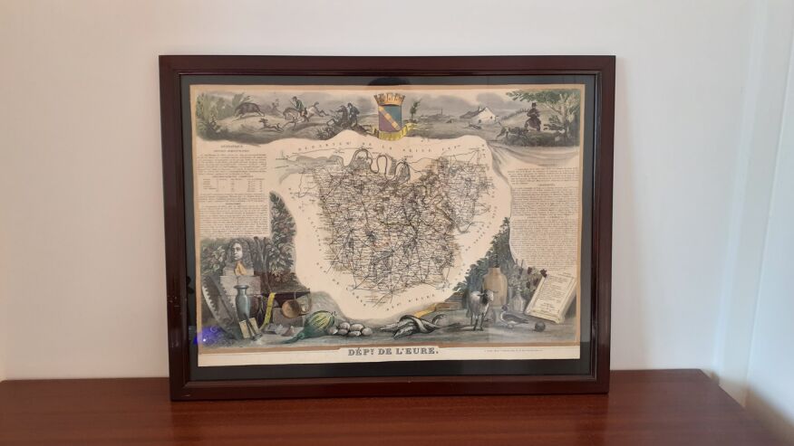
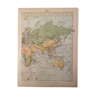
Real old map of the department of eure dating from 1854 from the "atlas national illustré des 86 départements et des possessions de la france" by victor levasseur published in 1854. Hand-painted map with a few touches of color. The map has been enhanced with gold paint and probably framed in black, you can see the writing on the right and left a little in transparency. The card is delivered in its original frame that has stood the test of time, hence still some brands. Table format: 48 X 36.6 X 1.1 cm.
Ref. : 75EJSK2U
- Dimensions :
- H37 x W48 x D2
- Color :
- beige
- Material :
- paper
- Style :
- classic
Our suggestion of similar items
Discover more similar items

Return your item within 14 days
Cherry-picked items
Carrefully selected sellers
100% secured payment