Beijing map

- Dimensions :
- H46 x W31 x D1
- Color :
- multicolour
- Material :
- paper
- Style :
- vintage
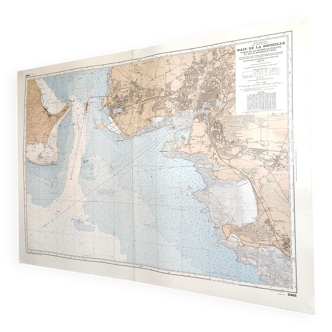
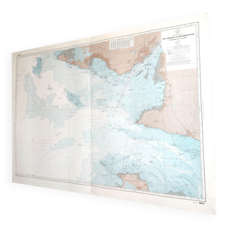
Original old map dating from 1883 31x46cm this is indeed an old original document and not a reproduction. 📦 shipped flat folded on itself between several layers of cardboard in order to make the package unfoldable, this type of old document cannot be rolled. Original central fold is barely visible once unfolded see photos. Do not hesitate to contact me to make a batch to save on shipping costs: for maps and lithographs you only pay one shipment. This map of beijing highlights the rectilinear and organized structure of the city, with its well-defined districts and successive enclosures. In the center, the forbidden city dominates the urban layout, surrounded by the imperial city and the tartar city, which bear witness to the political and social organization of the chinese capital at the time. The many palaces, temples and administrative spaces reflect the role of beijing as the center of imperial power. The plan also illustrates the presence of vast bodies of water and canals, which contribute to the harmony and management of the urban space. The fortified enclosure underlines the defensive importance of the city.
5 ()