
Page 1 of 6
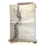
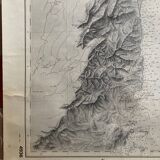
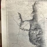
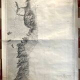
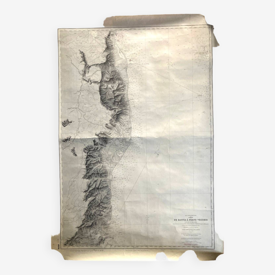
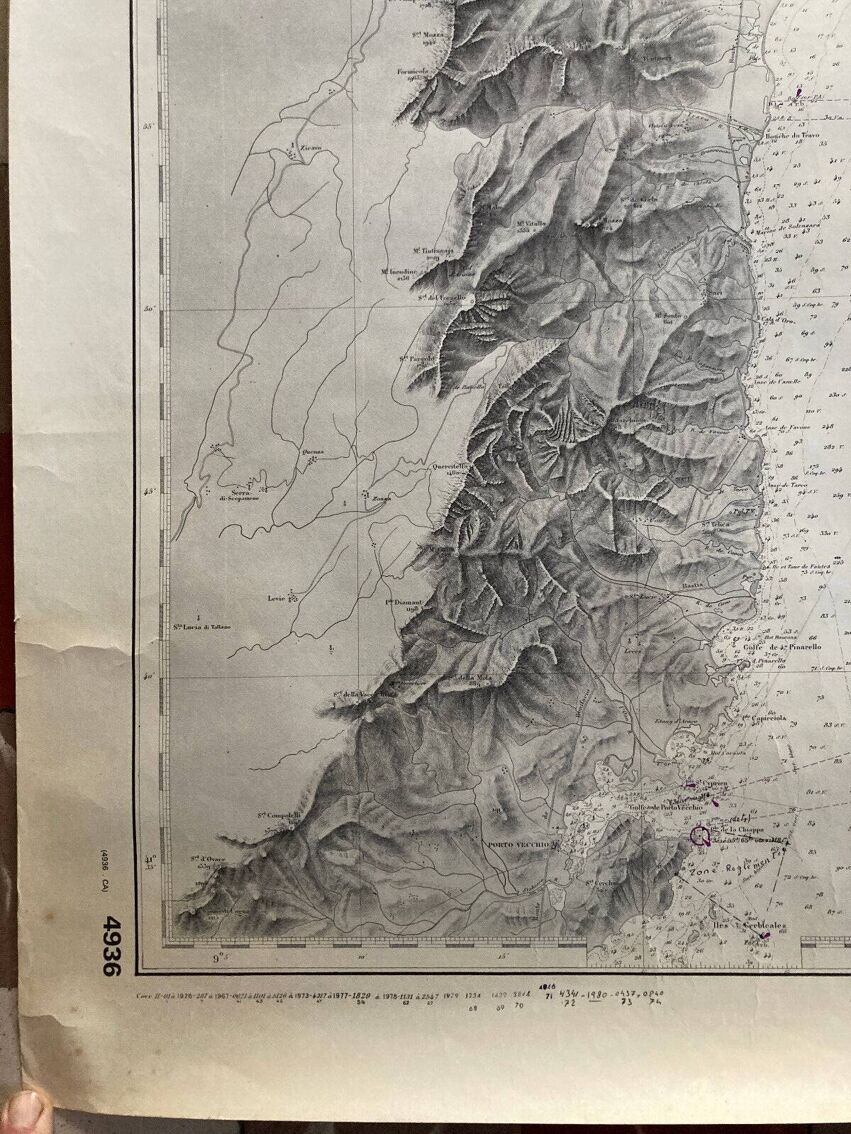
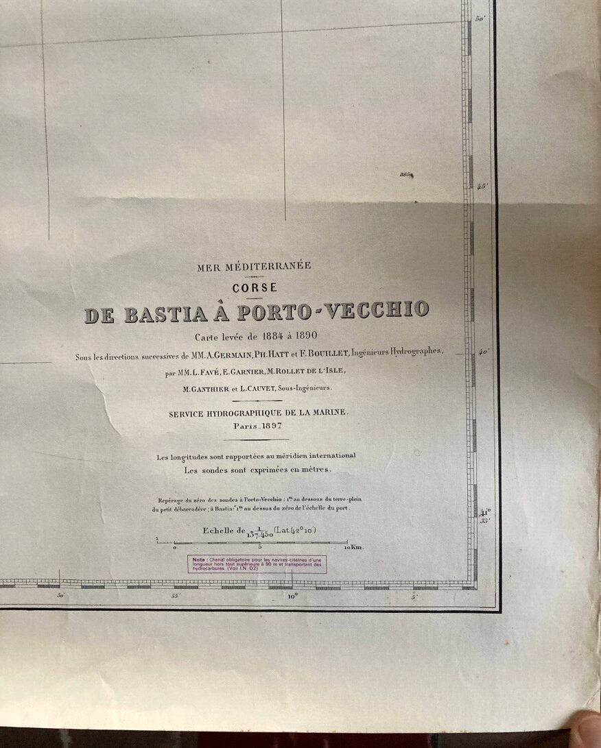
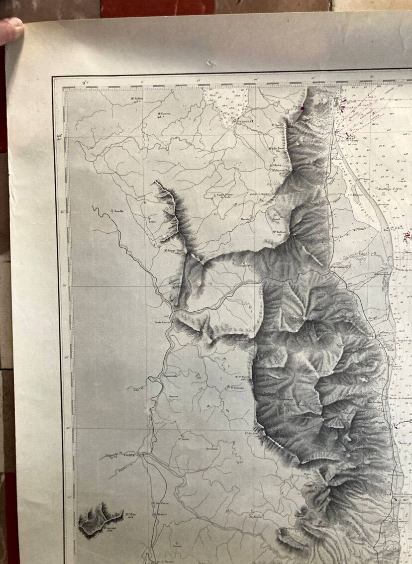
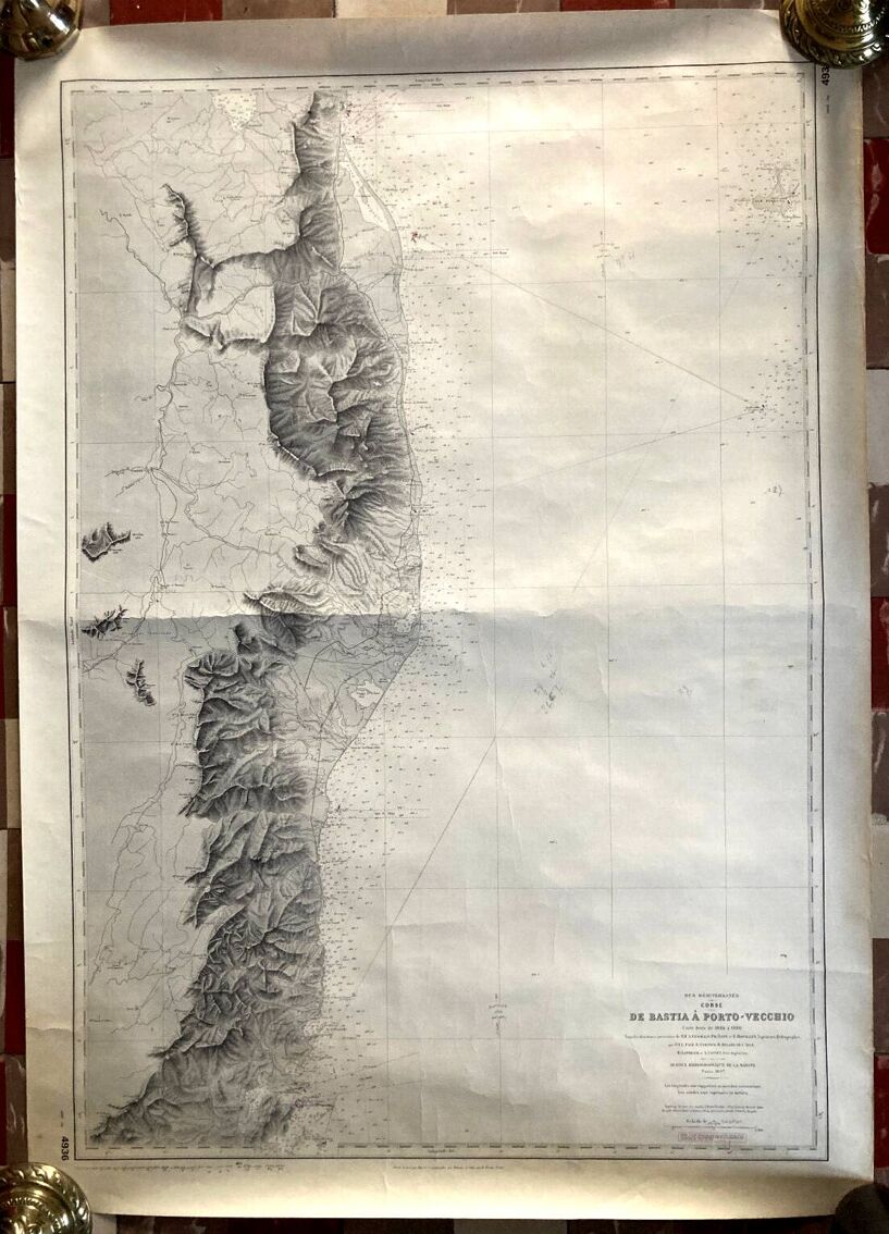
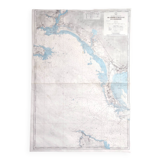
Old nautical map Mediterranean Sea - Corsica - From Bastia to Porto Vecchio
€120 €150
- H106 x W75
- paper
- white
Professional
This seller has been carefully selected for their reliability and unique items. Let yourself be tempted.
4.58 ()
Download the Selency app to receive notifications of price reductions on your favorites.
Description
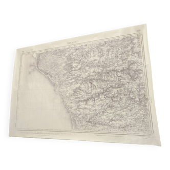
Marine map, Mediterranean Sea, Corsica, from Bastia to Porto-Vecchio, map drawn from 1884 to 1890, by L Favé, E Garnier, M Rommet de l'Isle, Hydrographic Service of the Navy Paris 1897. Engraved, the line by Huguet , the topography by dealune, the letter by dumas-vorzet. The card measures 106 x 75. Very good condition, trace of a fold across the width, discreet traces of handling.
Ref. : 8KHY3TR7
- Dimensions :
- H106 x W75
- Color :
- white
- Material :
- paper
- Style :
- classic
🇫🇷
Raphael A.
Professional
This seller has been carefully selected for their reliability and unique items. Let yourself be tempted.
356 sales
4.58 ()
Our suggestion of similar items
Discover more similar items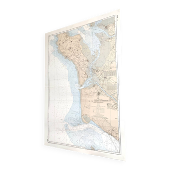

Page 1 of 4
Return your item within 14 days
Cherry-picked items
Carrefully selected sellers
100% secured payment