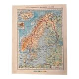
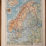
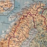

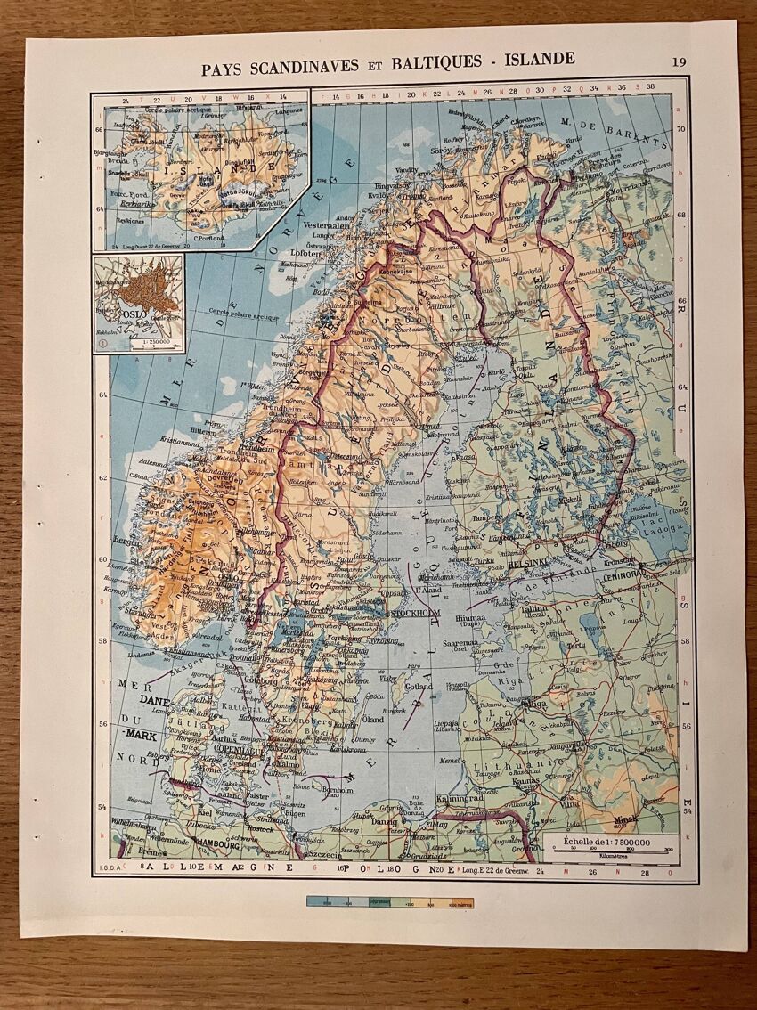
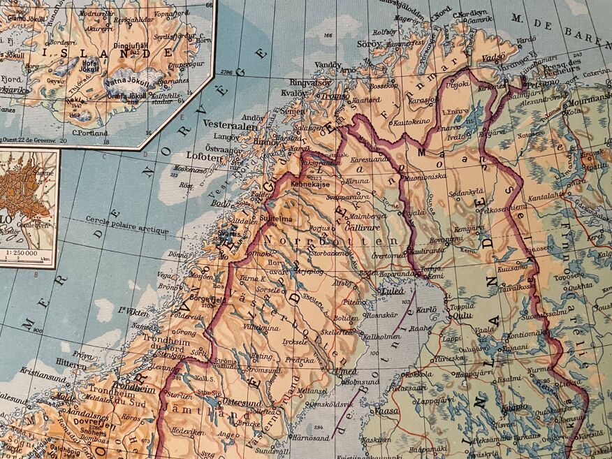
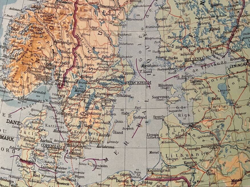
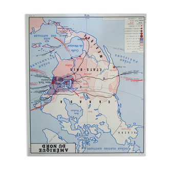
Map of the Scandinavian and Baltic countries - 1940
- Great deal
- paper
- multicolour
4.96 ()
Description
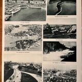
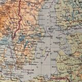
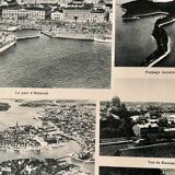
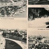
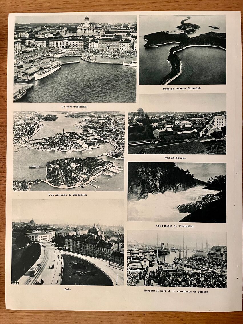
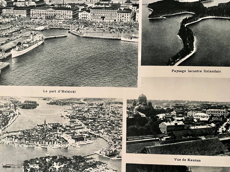
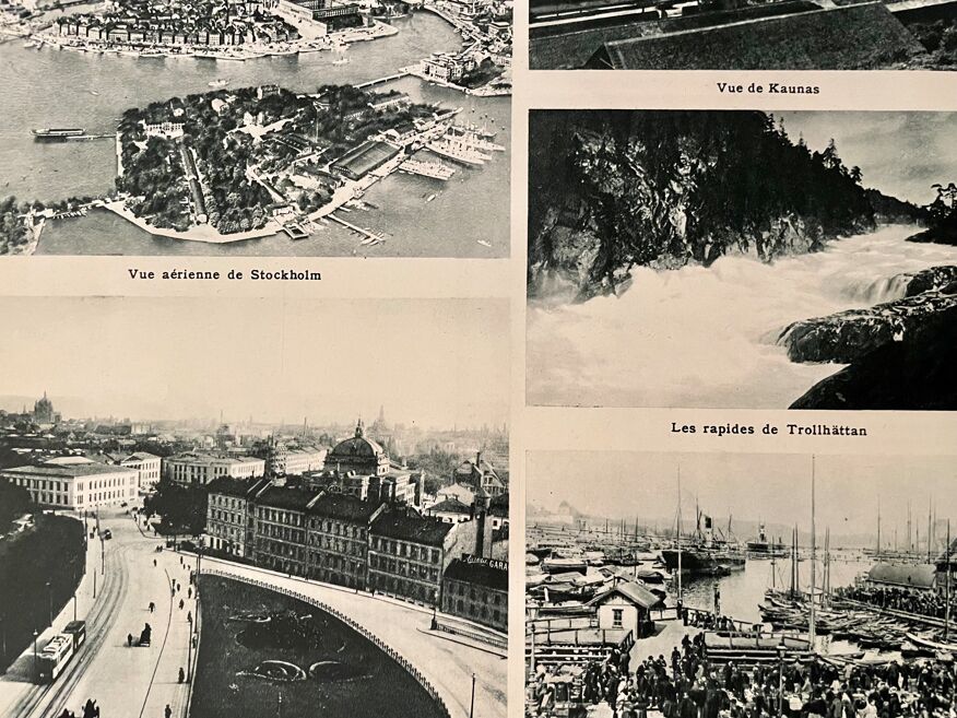
Old map of the scandinavian and baltic countries (original), taken from an old atlas. 💎 all lithographs and maps in this account are originals and not copies. Illustrated on the front and back (photographic plate of landscapes and emblematic cities of the region) Other maps (especially illustrated) and lithographs on the countries of the north and other countries also available on this account. Date: publication of the book in the 40s. Dimensions: 26 X 33 cm. To be framed.
Ref. : DFF9TE6D
- Color :
- multicolour
- Material :
- paper
- Style :
- vintage
4.96 ()
Our suggestion of similar items
Discover more similar items


Return your item within 14 days
Cherry-picked items
Carrefully selected sellers
100% secured payment