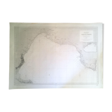
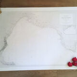
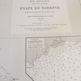
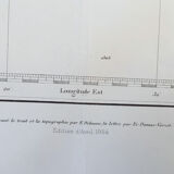
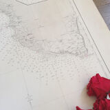
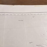
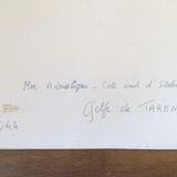
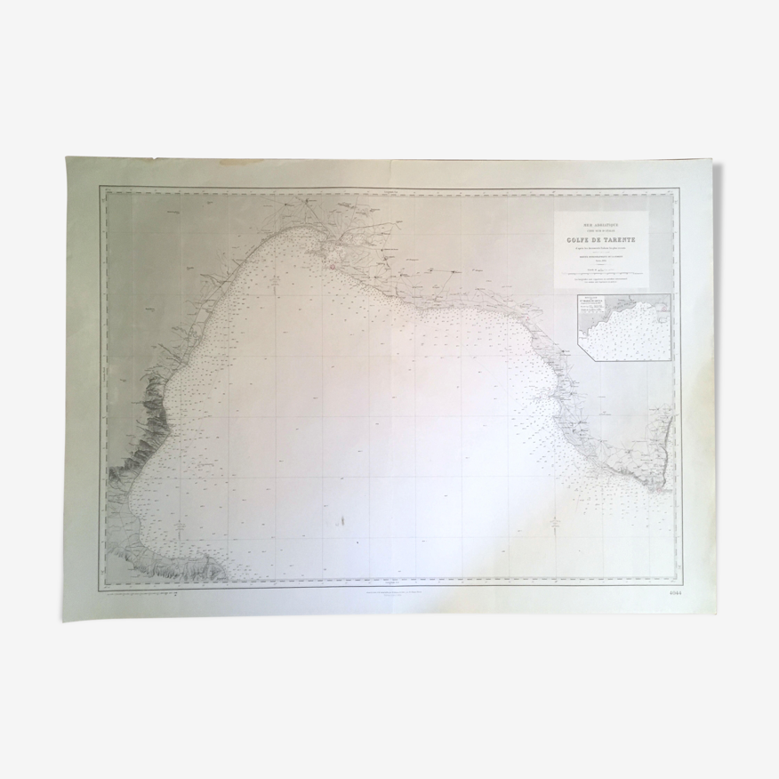
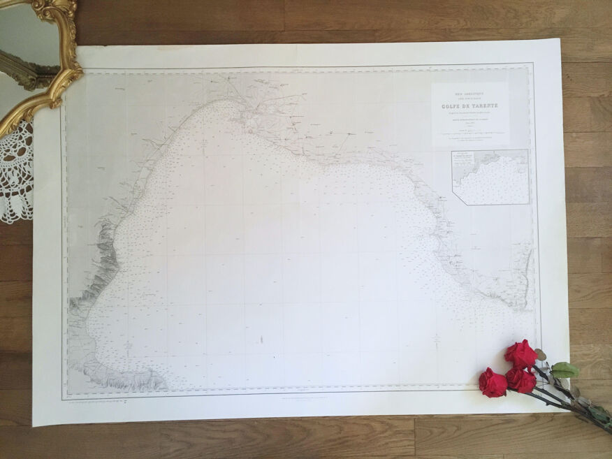
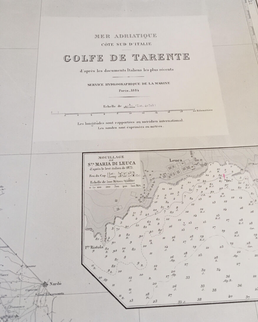
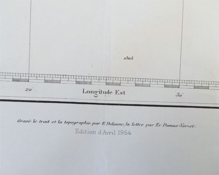
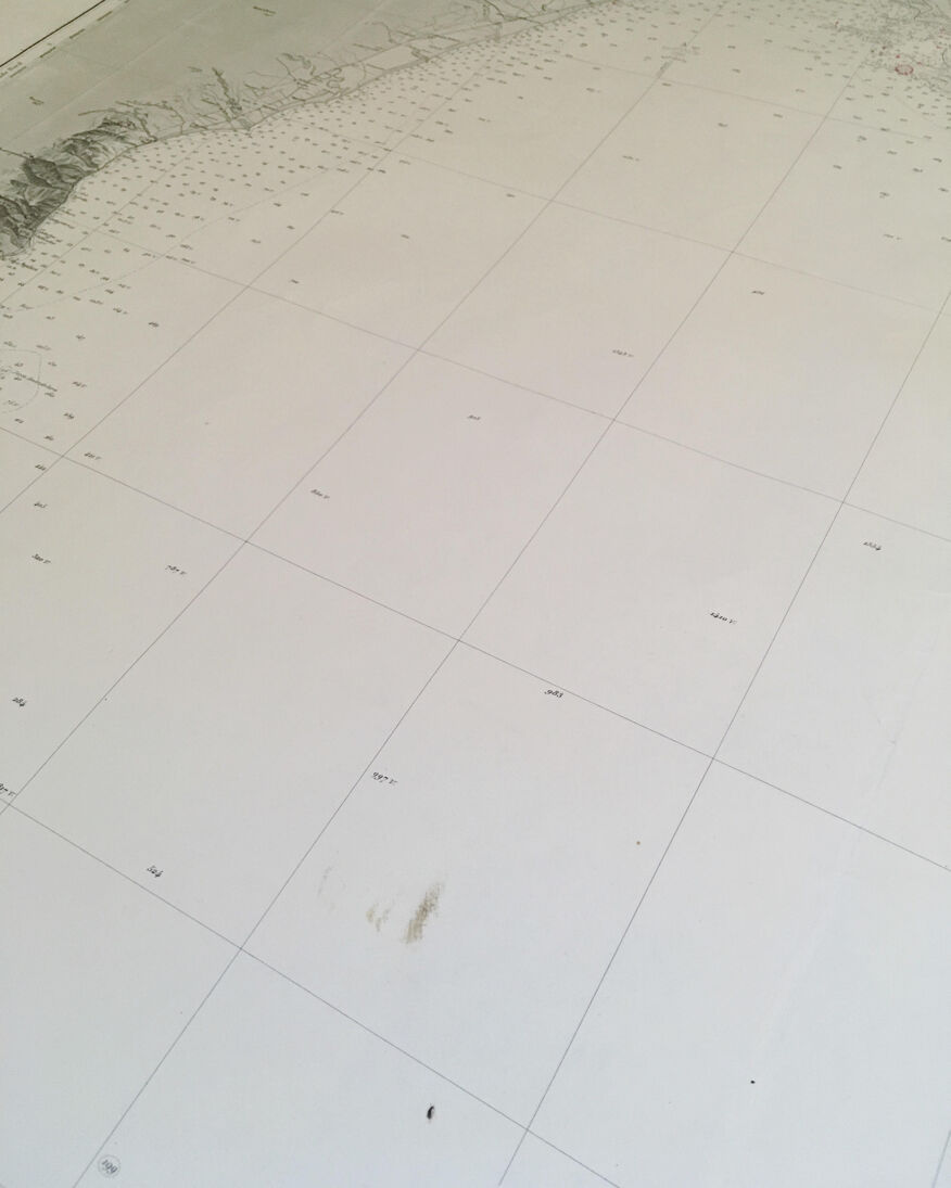
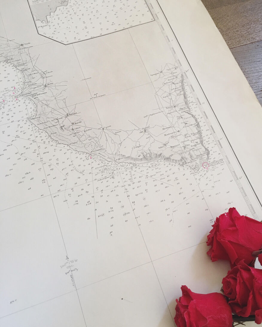
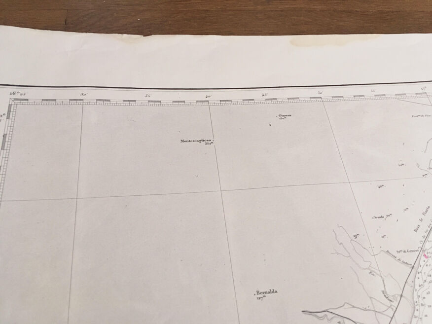
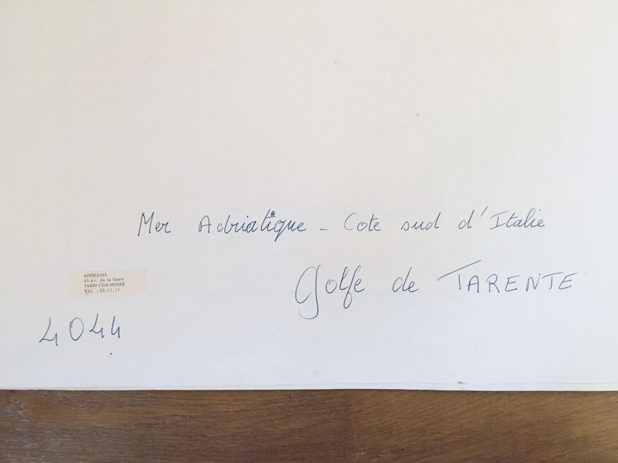
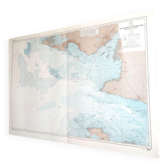
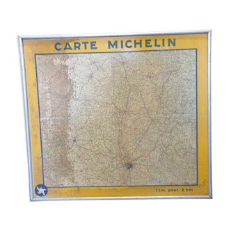
Map of the sea chart of the Gulf of Tarentum published 1954 - Adriatic Sea
- H76 x W106 x D1
- paper
- beige
5 ()
🙈 Oops, this product is already sold or unavailable. Discover our 1500 new products or products similar to this item !
Description
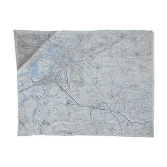
Old map of the sea of the Gulf of Tarentum, published in the 1950s. Black and white. Very nice condition. Very light stain to mean on the edges and one towards the Center, but nothing that does take away from the charm of the room (see picture), just enough make it even more authentic. A beautiful piece that will make you travel. 106 cm long x 76 cm high.
Ref. : HtQxfyi
- Dimensions :
- H76 x W106 x D1
- Color :
- beige
- Material :
- paper
- Style :
- vintage
5 ()
Our suggestion of similar items
Discover more similar items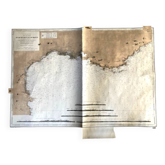

Return your item within 14 days
Cherry-picked items
Carrefully selected sellers
100% secured payment