


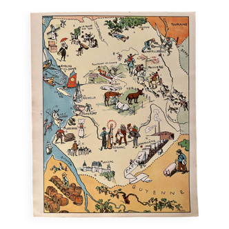
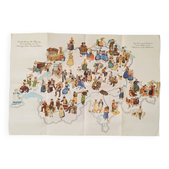
Old Normandy map illustrated Jacques Liozu 1951
- H37 x W53
- paper
- multicolour
4.97 ()
Description
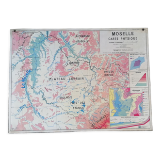
Old map of normandy, illustrated by jacques liozu for odé paris published in france in 1951. Pretty illustrations representing historical characters and specialties of the north west region of france. Dimensions: large format on thick paper 53 by 37 cm. Poster to frame. Vintage decoration: geography france manche calvados caen granville mont st michel cherbourg avranches lisieux evreux rouen le havre deauville.
Ref. : J537RFPX
- Dimensions :
- H37 x W53
- Color :
- multicolour
- Material :
- paper
- Style :
- vintage
4.97 ()
Our suggestion of similar items
Discover more similar items


Return your item within 14 days
Cherry-picked items
Carrefully selected sellers
100% secured payment