


Page 1 of 5
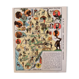
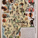
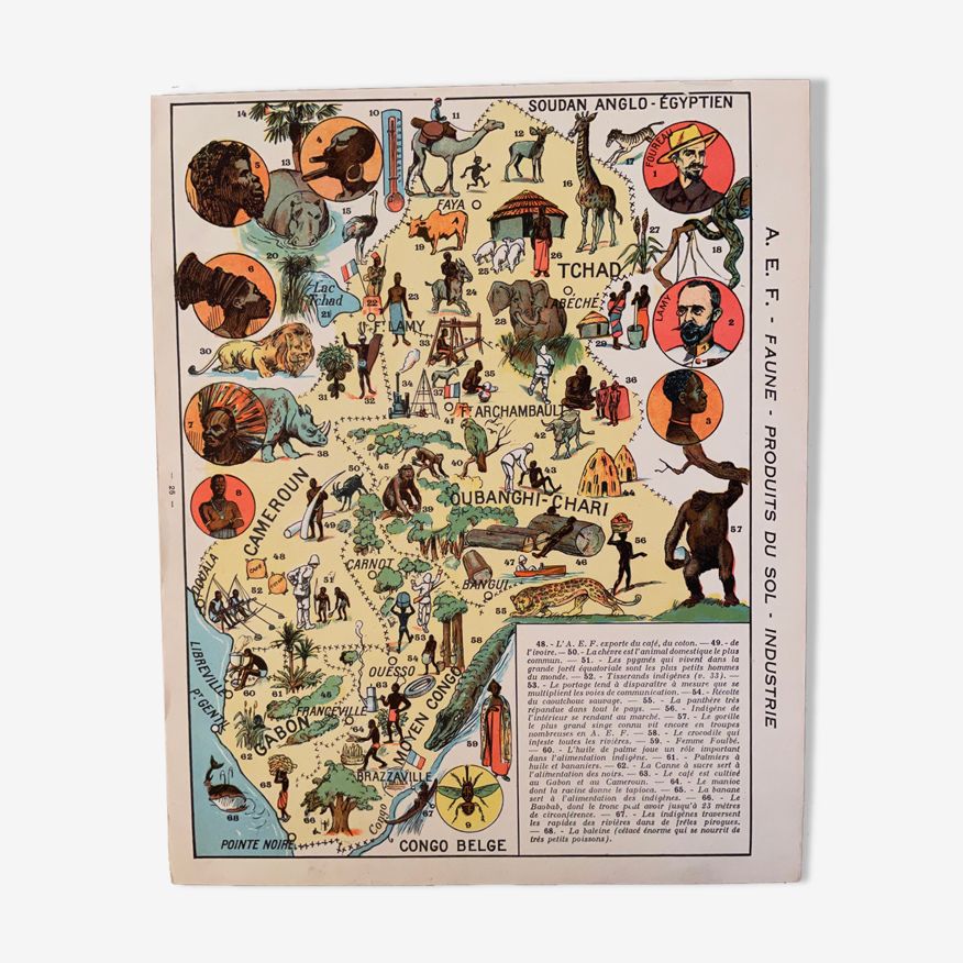
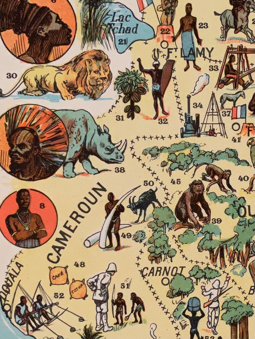
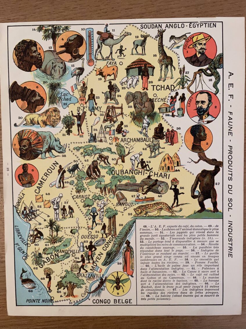
Old poster map of French Equatorial Africa (soil products and industry) - 1931
€38 €42
- H30 x W24
- paper
- multicolour
Pro ambassador
This seller has earned our full trust with their record of flawless sales. Just read their customer reviews! A gem.
4.96 ()
Download the Selency app to receive notifications of price reductions on your favorites.
Description
Old map of the a. E.f french equatorial africa (soil products and industry) illustrated by a. Fauchere and a. Galland, taken from "la france d'outre-mer illustrée", published by blondel la rougery. Date: 1931 (rare) Dimensions: 24 X 30 cm. To be framed. Lithograph, engraving, painting, decoration, decoration, vintage, gift idea. Geography cartography france sudan cameroon chad gabon.
Ref. : P2BR7DHS
- Dimensions :
- H30 x W24
- Color :
- multicolour
- Material :
- paper
- Style :
- vintage
🇫🇷
Mathilde S.
Pro ambassador
This seller has earned our full trust with their record of flawless sales. Just read their customer reviews! A gem.
526 sales
4.96 ()
Our suggestion of similar items
Discover more similar items


Page 1 of 10
Return your item within 14 days
Cherry-picked items
Carrefully selected sellers
100% secured payment