


Page 1 of 18
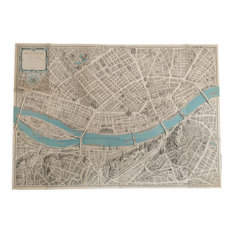
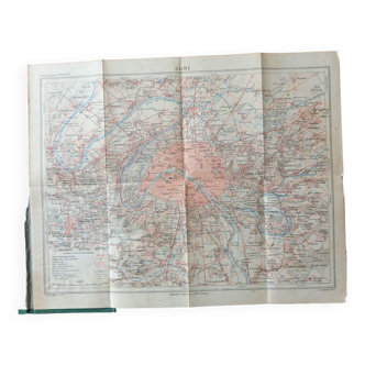
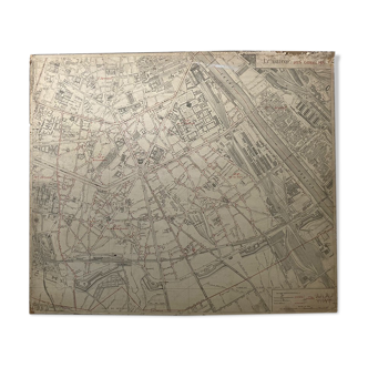
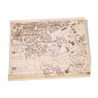
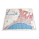
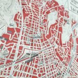
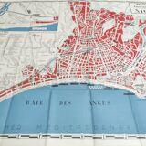
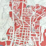
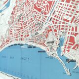
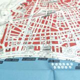
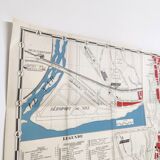
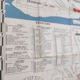
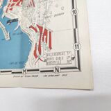
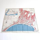
Tourist plan map of Nice 1950 Côte d'Azur
€60

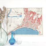
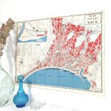
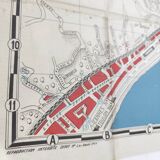
Tourist plan map of Nice 1950 Côte d'Azur
€60
- Dimensions :
- H58 x W74 x D1
- Color :
- multicolour
- Material :
- paper
- Style :
- vintage
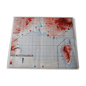
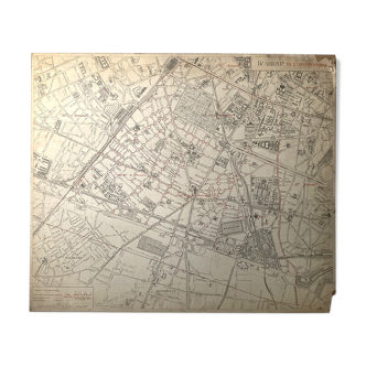
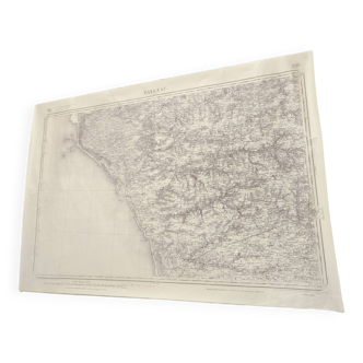
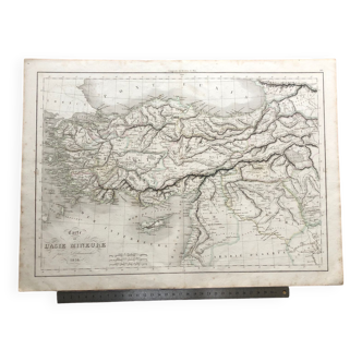
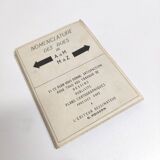
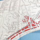
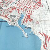
Pretty vintage travel map of nice in 1950 (south of france, provence, mediterranean, bay of angels, promenade des anglais). Drawn by octave poisson. Folded paper card, length 74cm, height 58cm. Beautiful condition, nice graphics with its monuments.
🇫🇷
Alan P.
Super Pro
Sellers like this? We'd like to have thousands of them! This seller has fulfilled all of their clients' expectations. Will you be up next?
1130 sales
4.98 ()