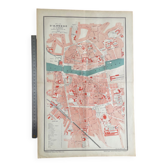
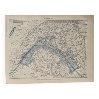
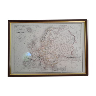
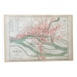
Map of Nantes
- Dimensions :
- H31 x W46 x D1
- Color :
- multicolour
- Material :
- paper
- Style :
- vintage
Original old map dating from 1883 31x46cm this is indeed an old original document and not a reproduction. 📦 shipped flat folded on itself between several layers of cardboard in order to make the package unfoldable, this type of old document cannot be rolled. Original central fold is barely visible once unfolded see photos. Do not hesitate to contact me to make a batch to save on shipping costs: for maps and lithographs you only pay one shipment. This detailed map of nantes represents the city at a time when its organization was still strongly marked by the presence of the loire and its many arms. The cartography highlights the dense urban fabric of the historic center, the islands of the loire, as well as the main public and religious buildings. With its red, green and black hues, this document illustrates the development of the port and river infrastructures that made nantes a major commercial center. The castle of the dukes of brittany, an emblematic element of the city, is clearly visible, as are the lively quays and bridges connecting the different parts of the city. This plan is a real window on nantes' past, ideal for lovers of old cartography, urban history and loire heritage.
5 ()