


Page 1 of 7
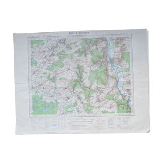
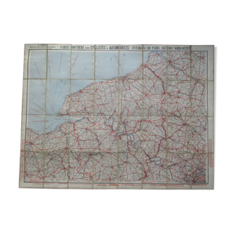
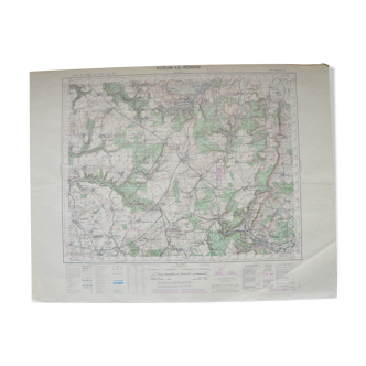
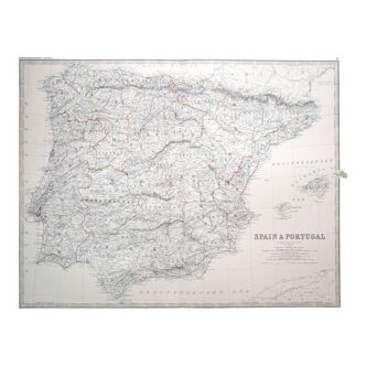
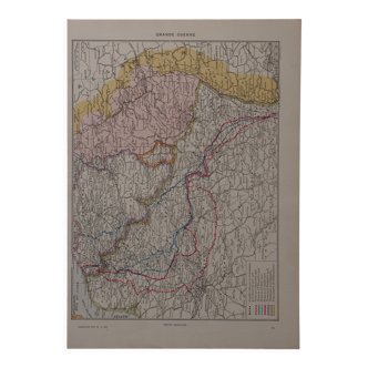
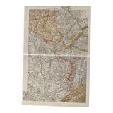
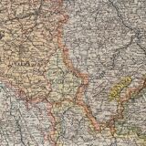
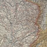
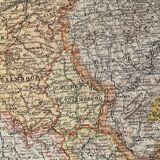
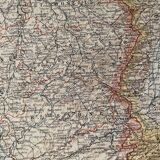
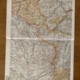
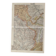
Old map of North-East France (large format) - 1910
€30
Old map of North-East France (large format) - 1910
€30
- Dimensions :
- H48 x W31 x D1
- Color :
- multicolour
- Material :
- paper
- Style :
- vintage
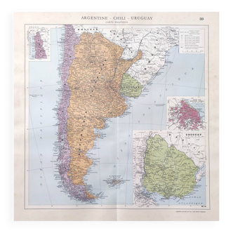
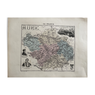
Old map of north-east france (original), taken from an old encyclopedia. Signed by paul de laubadère (artist designer) 💎 all lithographs and cards on this account are originals and not copies other cards (notably illustrated) also available on this account date: publication of the work in the 10s dimensions: approximately 48 X 31 cm to frame decoration, decoration, vintage, gift idea and country house cartography belgium luxembourg meurthe et moselle vosges haute saône côte d'or lorraine haute marne meuse namur prussia germany geography geographer mountain relief ardennes film and cinema decor bavaria alsace dawn.
🇫🇷
Mathilde S.
Super Pro
Sellers like this? We'd like to have thousands of them! This seller has fulfilled all of their clients' expectations. Will you be up next?
586 sales
4.96 ()