


Page 1 of 19
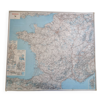
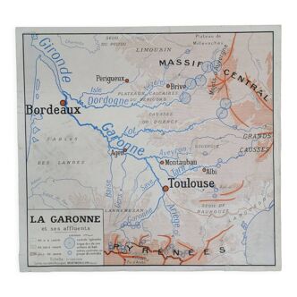
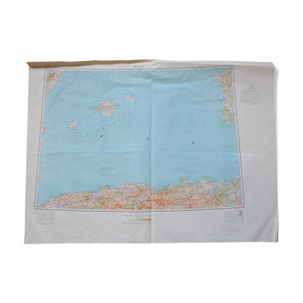
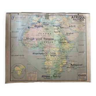
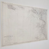
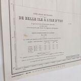
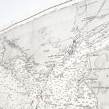
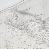
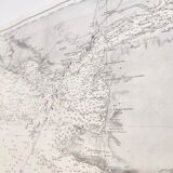
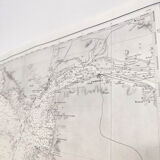
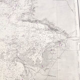
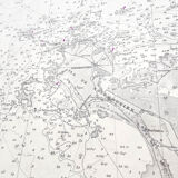
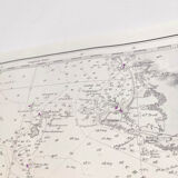
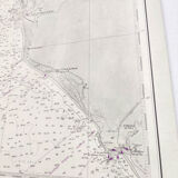
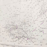
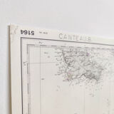
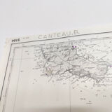
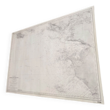
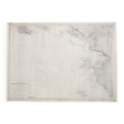
Map west coast France from Belle île to Ile D'Yeu
€75
Map west coast France from Belle île to Ile D'Yeu
€75
- Dimensions :
- H69 x W96 x D1
- Color :
- multicolour
- Material :
- paper
- Style :
- vintage
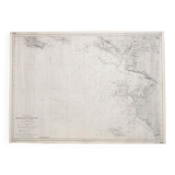
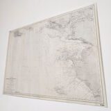
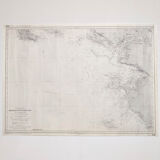
Nice big vintage map of the west atlantic coast of the france (belle île, le croisic, la baule, the loire estuary, the île noirmoutier and the ile d'yeu). Based on beautemps – beaupré map surveys. Edition of 1948, dated 1975. Nice detail of graphics and relief. Dimensions: length 96cm and height 69.5cm. Rolled-up cardstock cardboard map.
🇫🇷
Alan P.
Super Pro
Sellers like this? We'd like to have thousands of them! This seller has fulfilled all of their clients' expectations. Will you be up next?
1131 sales
4.98 ()