
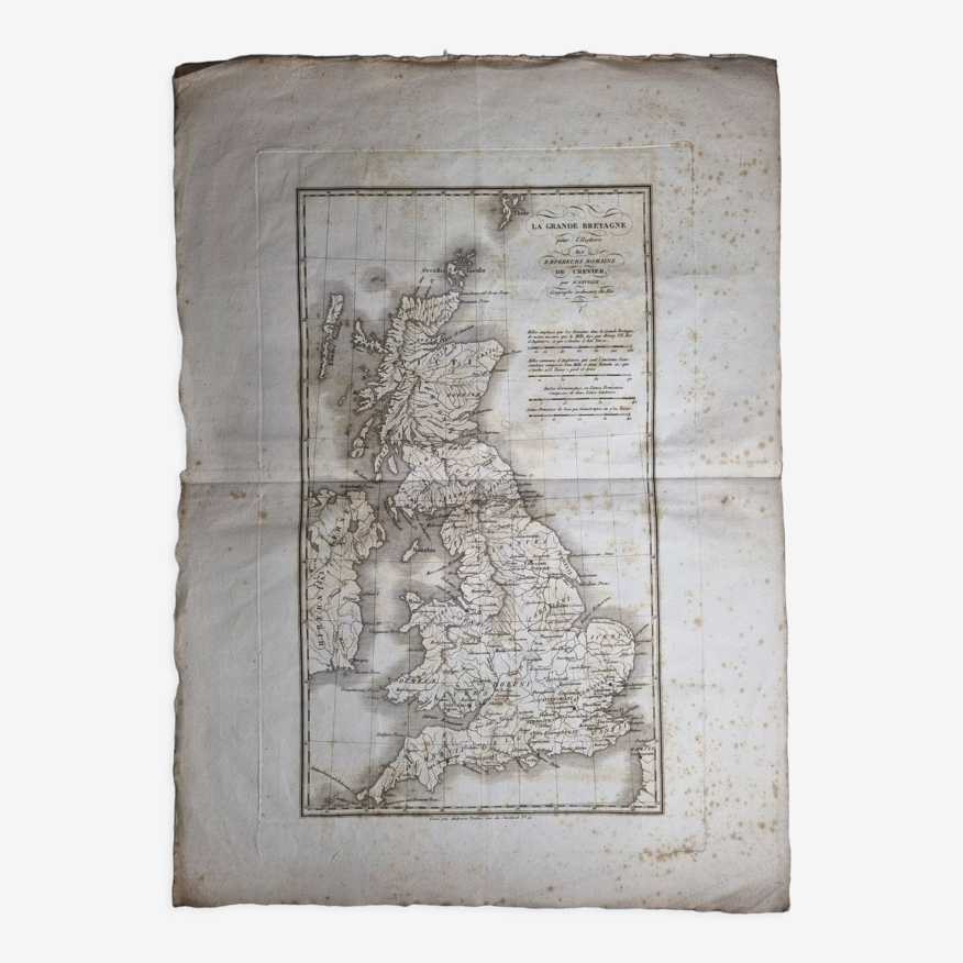
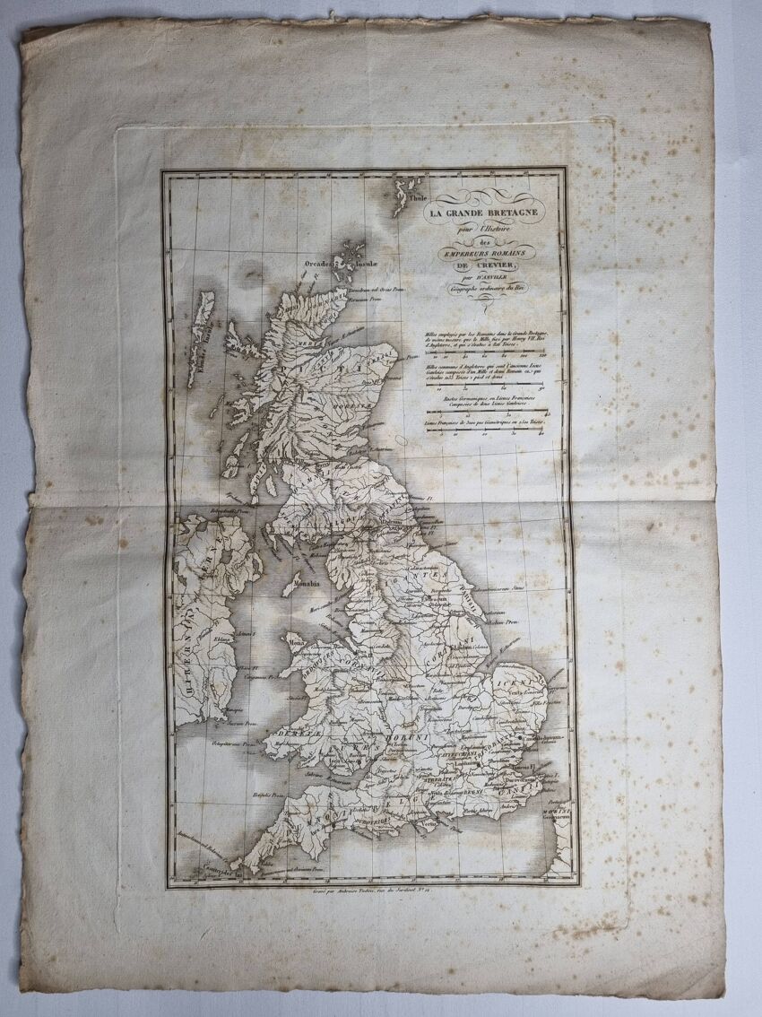
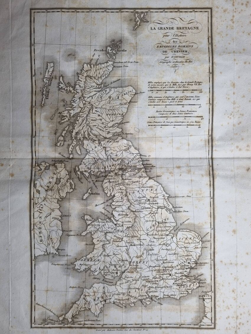
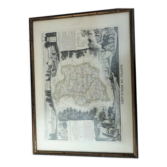
Map of Great Britain from the Atlas of the History of the Emperors of 1819, 48 x 34 cm
- H48 x W34
- paper
- white
4.88 ()
Description
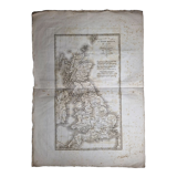
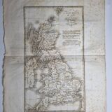
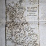
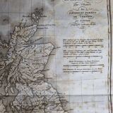
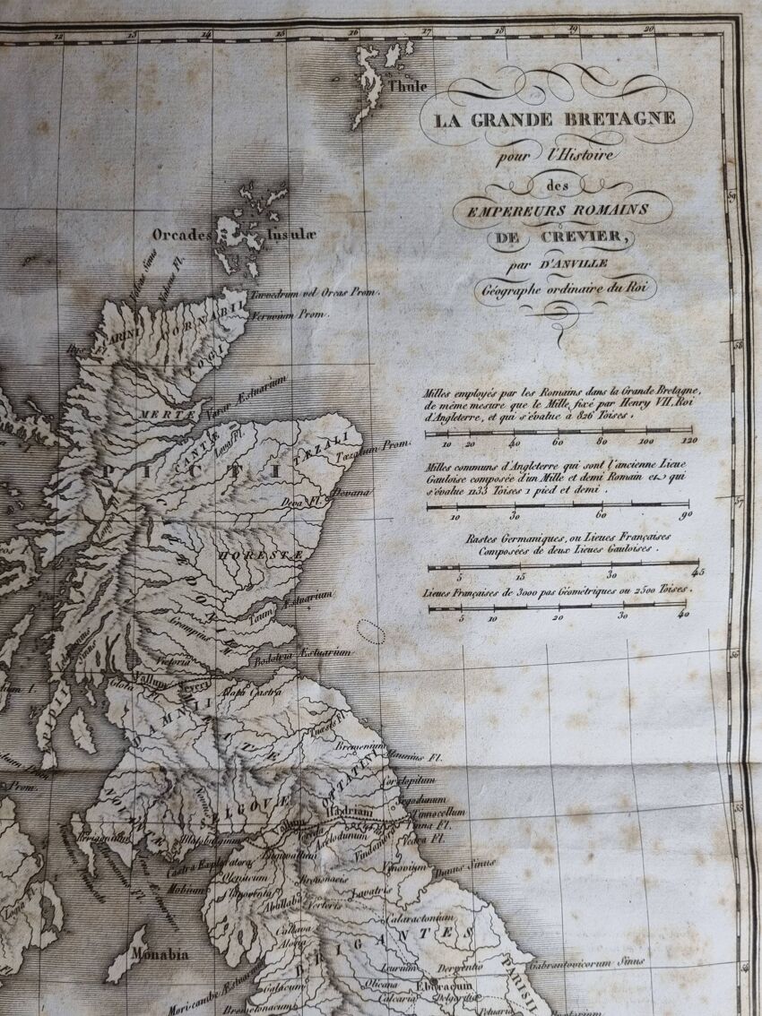
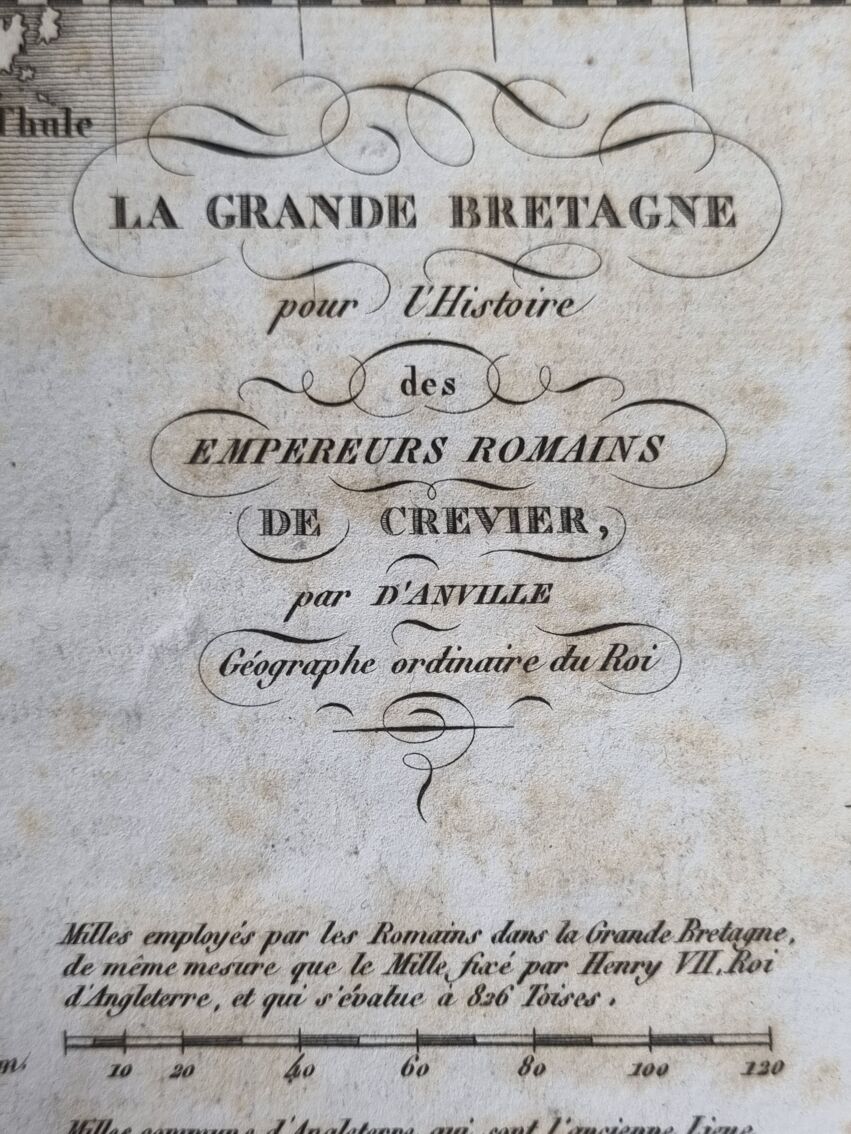
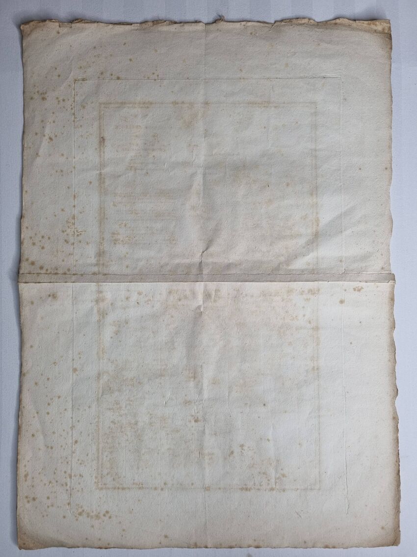
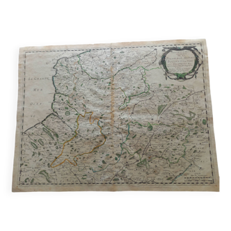
Old map of great britain (nineteenth century), engraving extracted from the atlas of the history of the emperors of 1819 after the history of the roman emperors of crevier by d'anville, ordinary geographer of the king. The map measures 48 cm high by 34 cm wide margins included, with age-related traces, freckles and traces of wear on the edges. In good condition otherwise. See detailed photos. Note. Hadrian's wall, the thames and the capital "londinium" are depicted.
Ref. : UUQ89PDX
- Dimensions :
- H48 x W34
- Color :
- white
- Material :
- paper
- Style :
- classic
4.88 ()
Our suggestion of similar items
Discover more similar items


Return your item within 14 days
Cherry-picked items
Carrefully selected sellers
100% secured payment