


Page 1 of 5
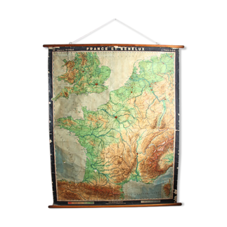
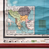
Map southern part of Europe, 1912
€390

Map southern part of Europe, 1912
€390
- Dimensions :
- H190 x W180
- Color :
- multicolour
- Material :
- paper
- Style :
- vintage
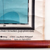
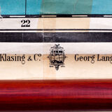
This rare wall chart of 1912 shows the southern part of Europe from the collection of Ed table. Gaebler wall and was published by Hilmar Klasnig & Co. and George Lang in Leipzig, Germany. The table is a copy on paper canvas, attached to the ankles of split wood and in good condition. Dimensions: 180cm width x 190 cm in height. Condition: excellent.