Old illustrated map of the Ile de France - JP Pinchon
- H30 x W24 x D1
- paper
- multicolour
4.96 ()
Description
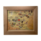
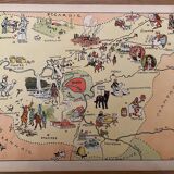
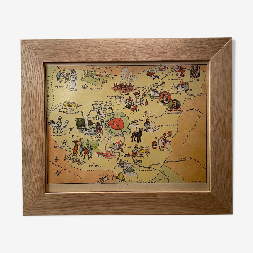
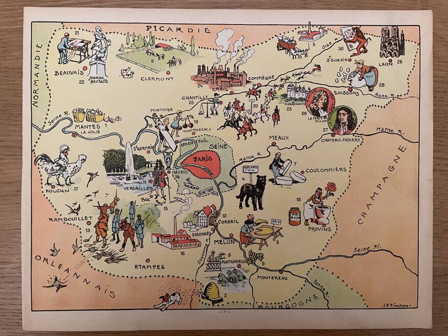
Old map of the île de france, illustrated by émile-joseph-porphyre pinchon (the cartoonist of bécassine), extracted from "les provinces de france illustrées", published by blondel la rougery. Visible signature of j.p. Pinchon. Date: 1927. Dimensions: 23.5 X 29.7 cm. Sold framed (solid wood frame and glass): 45€. Perfect for a children's room. Geography, france, aisne, oise, seine et marne, mantes la jolie, paris, étampe, coulommiers, meaux, chantilly, pontoise, compiègne, laon, saint gibson, beauvais, clermont, versailles, rambouillet, melun, corbeil, fontainebleau.
Ref. : X3GHJ42B
- Dimensions :
- H30 x W24 x D1
- Color :
- multicolour
- Material :
- paper
- Style :
- vintage
4.96 ()
Our suggestion of similar items
Discover more similar items


Return your item within 14 days
Cherry-picked items
Carrefully selected sellers
100% secured payment